
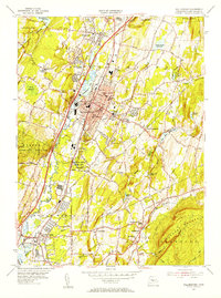
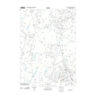
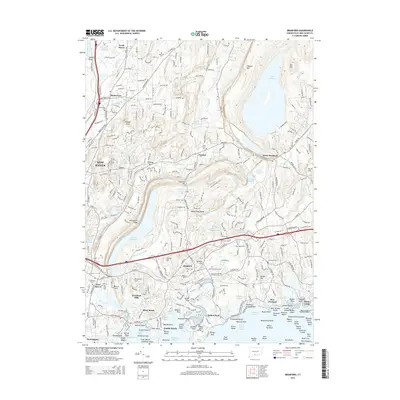
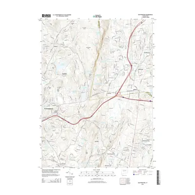
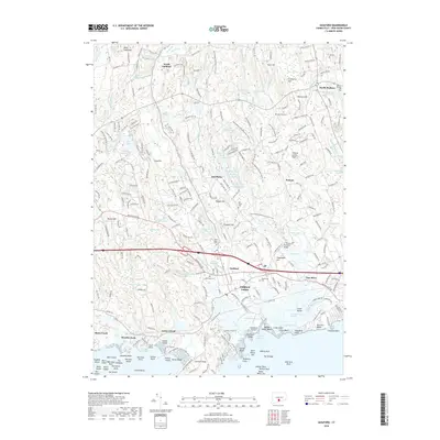
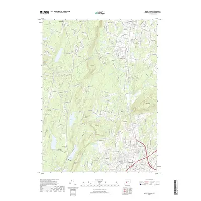
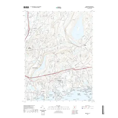
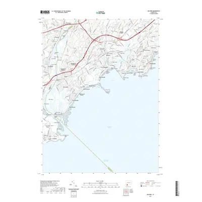
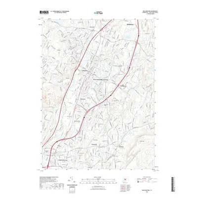
1954 Map of Wallingford
USGS Topo · Published 1965About this map
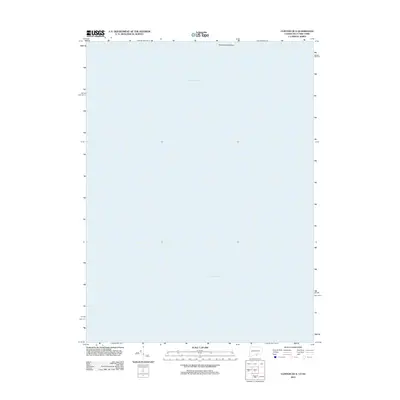
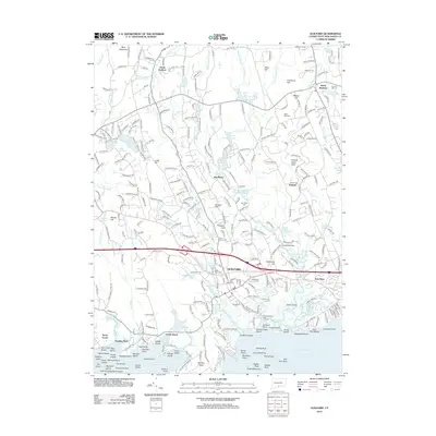
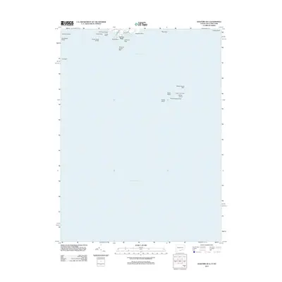
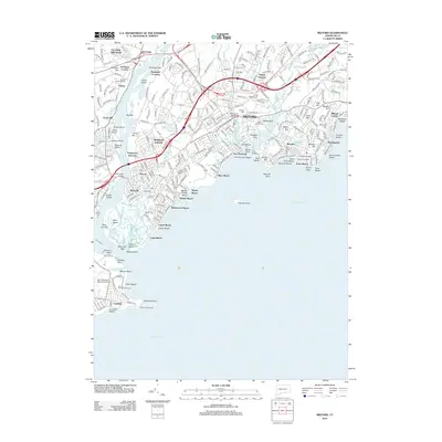
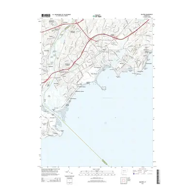
The Quinnipiac River valley serves as the central corridor for this mid-century portrait of New Haven County, where industry and education converge. The town of Wallingford dominates the landscape, defined by a dense concentration of civic and religious institutions such as the Choate Sch, Lyman Hall High Sch, and several prominent burial grounds including Holy Trinity Cem and the Center Street Cem. The infrastructure of the New York New Haven and Hartford railroad parallels the river, facilitating the growth of surrounding settlements like Yalesville and Quinnipiac. To the east and south, the terrain rises toward Totoket Mountain, revealing a shift from the urbanized river valley to a landscape of reservoirs like North Farms Reservoir and the rural reaches of Northford. Notable landmarks like the Saylord Farm Sanatorium and Tyler Mill illustrate the diverse land use of the era.
Find a feature on this map
60 named features on this map. Tap any name to fly to it.
Don’t see what you’re looking for? This feature index may not catch every label — zoom into the map to look around manually.
Map Details
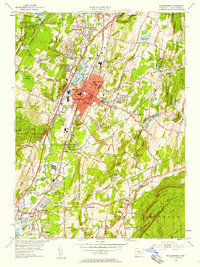
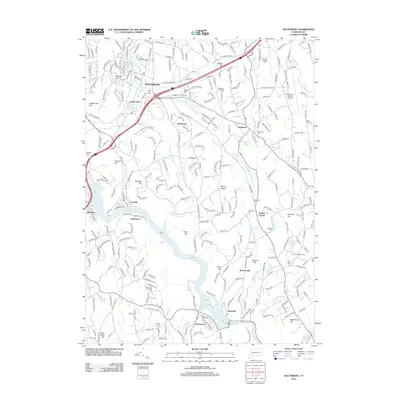
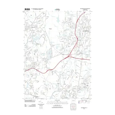
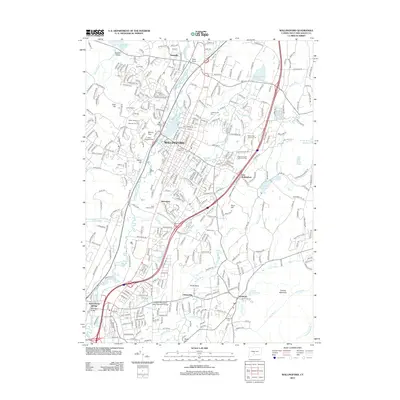
Editions of this 1954 Wallingford Map
3 editions found
Historical Maps of Meriden Through Time
67 maps found

1946 Southington
New Haven County, CT

1951 Milford
New Haven County, CT

1953 Southbury
New Haven County, CT

1954 Guilford
New Haven County, CT

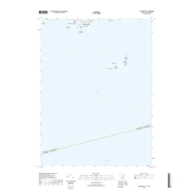
1954 Mount Carmel
New Haven County, CT
1954 Wallingford
New Haven County, CT

1955 Southington
New Haven County, CT

1960 Milford
New Haven County, CT

1964 Southbury
New Haven County, CT

1967 Mount Carmel
New Haven County, CT

1967 Wallingford
New Haven County, CT

1968 Guilford
New Haven County, CT

1968 Southington
New Haven County, CT

1984 Milford
New Haven County, CT
2012 Branford
New Haven County, CT
2012 Branford OE S
New Haven County, CT
2012 Clinton OE S
New Haven County, CT
2012 Guilford
New Haven County, CT
2012 Guilford OE S
New Haven County, CT
2012 Milford
New Haven County, CT
2012 Mount Carmel
New Haven County, CT
2012 Southbury
New Haven County, CT
2012 Southington
New Haven County, CT
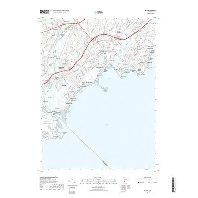
2012 Wallingford
New Haven County, CT
2015 Branford
New Haven County, CT
2015 Branford OE S
New Haven County, CT
2015 Clinton OE S
New Haven County, CT
2015 Guilford
New Haven County, CT
2015 Guilford OE S
New Haven County, CT
2015 Milford
New Haven County, CT
2015 Mount Carmel
New Haven County, CT
2015 Southbury
New Haven County, CT
2015 Southington
New Haven County, CT
2015 Wallingford
New Haven County, CT
2018 Branford
New Haven County, CT
2018 Branford OE S
New Haven County, CT
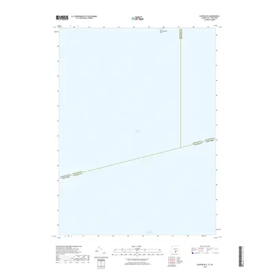
2018 Clinton OE S
New Haven County, CT
2018 Guilford
New Haven County, CT
2018 Guilford OE S
New Haven County, CT
2018 Milford
New Haven County, CT
2018 Mount Carmel
New Haven County, CT
2018 Southbury
New Haven County, CT
2018 Southington
New Haven County, CT
2018 Wallingford
New Haven County, CT
2021 Branford
New Haven County, CT
2021 Branford OE S
New Haven County, CT

2021 Clinton OE S
New Haven County, CT
2021 Guilford
New Haven County, CT
2021 Guilford OE S
New Haven County, CT
2021 Milford
New Haven County, CT
2021 Mount Carmel
New Haven County, CT
2021 Southbury
New Haven County, CT
2021 Southington
New Haven County, CT
2021 Wallingford
New Haven County, CT
2023 Branford
New Haven County, CT
2023 Branford OE S
New Haven County, CT
2023 Guilford
New Haven County, CT

2024 Branford
New Haven County, CT

2024 Branford OE S
New Haven County, CT

2024 Clinton OE S
New Haven County, CT

2024 Guilford
New Haven County, CT

2024 Guilford OE S
New Haven County, CT

2024 Milford
New Haven County, CT

2024 Mount Carmel
New Haven County, CT

2024 Southbury
New Haven County, CT

2024 Southington
New Haven County, CT

2024 Wallingford
New Haven County, CT