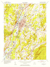
1954 Map of Wallingford
USGS Topo · Published 1956About this map
The Quinnipiac River corridor in the mid-1950s reveals a landscape transitioning from its industrial and agricultural roots into a modern suburban hub. Centered on Wallingford, the map shows a dense concentration of civic life, from the Lyman Hall High Sch and Whittelsey Ave Sch to the town's numerous memorial grounds, including In Memoriam Cem and the Masonic Home Cem. The arrival of high-speed travel is evident in the path of the Wilbur Cross Highway, which parallels the older rail lines of the New York New Haven and Hartford.
Find a feature on this map
67 named features on this map. Tap any name to fly to it.
Don’t see what you’re looking for? This feature index may not catch every label — zoom into the map to look around manually.
Map Details
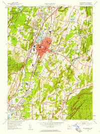
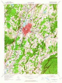
Editions of this 1954 Wallingford Map
3 editions found
Other maps of this area

1892 · New Haven
USGS Topo · 1:62,500

1892 · Meriden
USGS Topo · 1:62,500

1893 · Guilford
USGS Topo · 1:62,500

1893 · Middletown
USGS Topo · 1:62,500

1893 · Meriden
USGS Topo · 1:62,500

1906 · Farmington
USGS Topo · 1:125,000

1921 · New Haven
USGS Topo · 1:62,500

1928 · Cromwell
USGS Topo · 1:24,000

1943 · Durham
USGS Topo · 1:25,000

1943 · New Haven
USGS Topo · 1:31,680