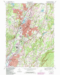
1967 Map of Wallingford
USGS Topo · Published 1985About this map
The Quinnipiac River corridor defines the industrial and institutional landscape of central Connecticut in this mid-century survey. The town of Wallingford appears as a dense hub of civic and educational life, featuring the extensive grounds of Choate Sch and the Masonic Home and Hospital. The map records a period of significant suburban and infrastructure development, evidenced by the expanding residential footprints in Yalesville and North Haven, and the presence of the Amtrak and Conrail lines moving freight and passengers through the valley.
Find a feature on this map
135 named features on this map. Tap any name to fly to it.
Don’t see what you’re looking for? This feature index may not catch every label — zoom into the map to look around manually.
Map Details
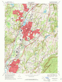
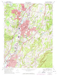
Editions of this 1967 Wallingford Map
3 editions found
Other maps of this area

1892 · New Haven
USGS Topo · 1:62,500

1892 · Meriden
USGS Topo · 1:62,500

1893 · Guilford
USGS Topo · 1:62,500

1893 · Middletown
USGS Topo · 1:62,500

1893 · Meriden
USGS Topo · 1:62,500

1906 · Farmington
USGS Topo · 1:125,000

1921 · New Haven
USGS Topo · 1:62,500

1928 · Cromwell
USGS Topo · 1:24,000

1943 · Durham
USGS Topo · 1:25,000

1943 · New Haven
USGS Topo · 1:31,680