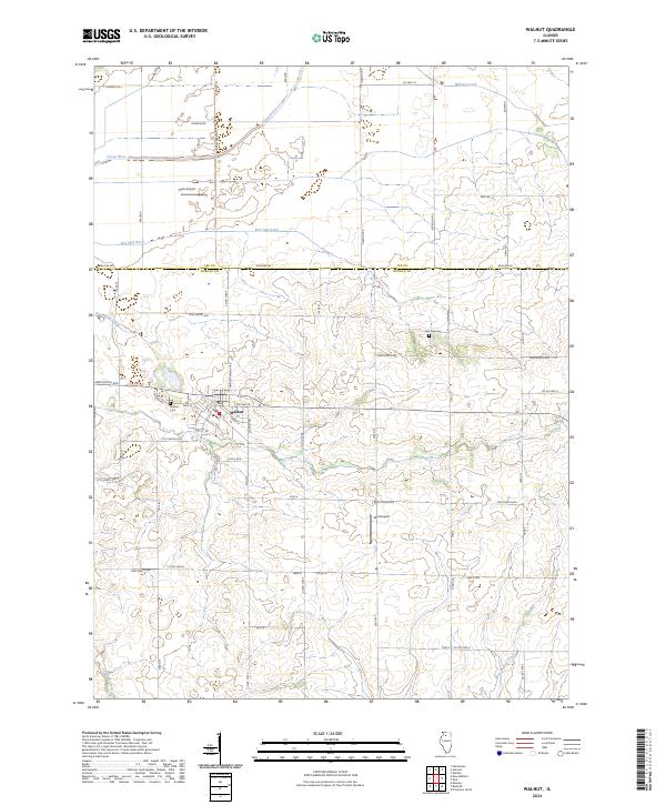
2024 Map of Walnut
USGS Topo · Published 2024About this map
Walnut serves as the primary hub of this agricultural landscape in Bureau County, where the village's street grid, including Depot St and Ross St, reflects its development as a rural center. The surrounding terrain is defined by an extensive network of drainage and water management, featuring the Green River and the engineered paths of the Red Oak Ditch and Normandy Ditch. This 2024 survey captures the persistence of small-scale aviation through the presence of Fisch Airport and Wilt Airport, alongside established local landmarks like the Walnut Cem and Red Oak Cem. The landscape transitions from the river lowlands in the north to the more varied topography surrounding Crooked Creek and West Bureau Creek in the south, illustrating the intersection of natural hydrology and a centuries-old township road system.
Find a feature on this map
60 named features on this map. Tap any name to fly to it.
Don’t see what you’re looking for? This feature index may not catch every label — zoom into the map to look around manually.
Map Details
Editions of this 2024 Walnut Map
This is the sole edition of this map. No revisions or reprints were ever made.
Other maps of this area

1893 · Hennepin
USGS Topo · 1:62,500

1909 · Hennepin
USGS Topo · 1:62,500

1911 · Hennepin
USGS Topo · 1:62,500

1921 · Buda
USGS Topo · 1:62,500

1923 · Buda
USGS Topo · 1:62,500

1949 · Walnut
USGS Topo · 1:62,500

1951 · Amboy
USGS Topo · 1:62,500

1958 · Aurora
USGS Topo · 1:250,000

1961 · Aurora
USGS Topo · 1:250,000
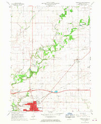
1966 · Princeton North
USGS Topo · 1:24,000