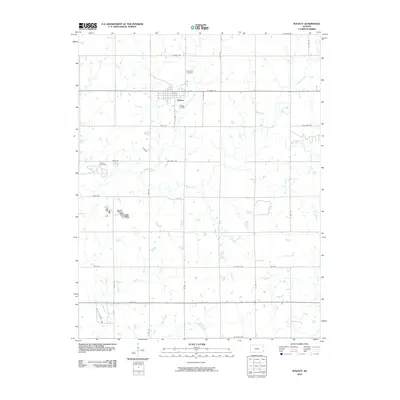
2010 Map of Walnut
USGS Topo · Published 2010About this map
Walnut serves as the central hub of this eastern Kansas landscape, situated where the grid of rural roads meets the meandering course of Little Walnut Creek. The town's layout is defined by the intersection of S Main St and E Front St, surrounded by a network of sectional roads like W 690th Ave and N 30th St that partition the agricultural terrain. Genealogical interests are well-served by the presence of both Glenwood Cemetery to the north and Fowler Cemetery to the west, marking the established roots of the local community. The drainage patterns of Walnut Creek and Pony Creek illustrate the low-relief geography typical of the region, while named routes such as York Rd and Xavier Rd provide a detailed look at the local infrastructure during the early twenty-first century.
Find a feature on this map
30 named features on this map. Tap any name to fly to it.
Don’t see what you’re looking for? This feature index may not catch every label — zoom into the map to look around manually.
Map Details
Editions of this 2010 Walnut Map
This is the sole edition of this map. No revisions or reprints were ever made.
Other maps of this area

1884 · Fort Scott
USGS Topo · 1:125,000

1886 · Joplin
USGS Topo · 1:125,000

1886 · Iola
USGS Topo · 1:125,000

1886 · Fort Scott
USGS Topo · 1:125,000

1886 · Parsons
USGS Topo · 1:125,000

1893 · Fort Scott
USGS Topo · 1:125,000

1893 · Iola
USGS Topo · 1:125,000

1893 · Parsons
USGS Topo · 1:125,000

1894 · Joplin
USGS Topo · 1:125,000

1904 · Iola
USGS Topo · 1:125,000