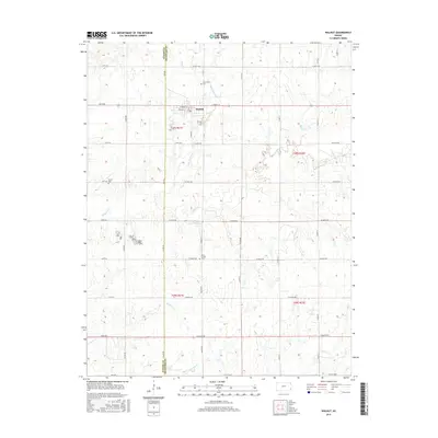
2016 Map of Walnut
USGS Topo · Published 2016About this map
Walnut sits at the intersection of Crawford and Neosho counties, serving as the central hub for a landscape defined by its prairie drainages. The town's grid is anchored by E Front St and S Main St, with the residential area concentrated just north of the junction of several local stream systems. Significant for genealogists and local historians, the surrounding countryside is dotted with established burial sites including Glenwood Cem to the north and the combined Olive School Cem to the south. The drainage patterns of Little Walnut Cr and Walnut Cr reveal the natural topography that dictated early settlement and agricultural boundaries. A dense network of section-line roads, such as Xavier Rd and Walnut Rd, provides a clear view of the rural land divisions and property access points that have persisted into the modern era.
Find a feature on this map
47 named features on this map. Tap any name to fly to it.
Don’t see what you’re looking for? This feature index may not catch every label — zoom into the map to look around manually.
Map Details
Editions of this 2016 Walnut Map
This is the sole edition of this map. No revisions or reprints were ever made.
Other maps of this area

1884 · Fort Scott
USGS Topo · 1:125,000

1886 · Joplin
USGS Topo · 1:125,000

1886 · Iola
USGS Topo · 1:125,000

1886 · Fort Scott
USGS Topo · 1:125,000

1886 · Parsons
USGS Topo · 1:125,000

1893 · Fort Scott
USGS Topo · 1:125,000

1893 · Iola
USGS Topo · 1:125,000

1893 · Parsons
USGS Topo · 1:125,000

1894 · Joplin
USGS Topo · 1:125,000

1904 · Iola
USGS Topo · 1:125,000