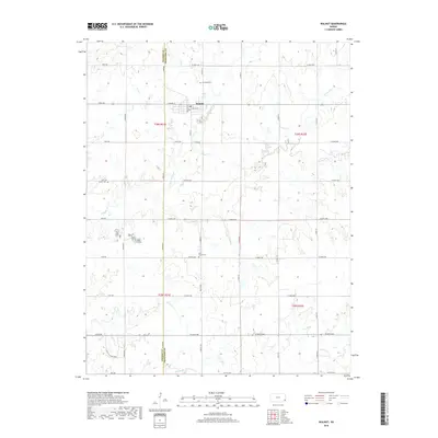
2018 Map of Walnut
USGS Topo · Published 2018About this map
Walnut sits at the intersection of Crawford and Neosho counties, serving as a focal point for this rural agricultural landscape in the late 2010s. The town's grid is defined by streets like E Front St and W Miller St, while the surrounding countryside is organized by a precise network of section-line roads, including Xavier RD and York RD. This area is heavily drained by several winding waterways, most notably Little Walnut Cr and Walnut Cr, which meander through the prairie terrain. For local historians and genealogists, the map identifies several significant burial sites that speak to the long-term settlement of the area, including Glenwood Cem north of town, Fowler Cem to the west, and the centrally located Olive School Cem.
Find a feature on this map
48 named features on this map. Tap any name to fly to it.
Don’t see what you’re looking for? This feature index may not catch every label — zoom into the map to look around manually.
Map Details
Editions of this 2018 Walnut Map
This is the sole edition of this map. No revisions or reprints were ever made.
Other maps of this area

1884 · Fort Scott
USGS Topo · 1:125,000

1886 · Joplin
USGS Topo · 1:125,000

1886 · Iola
USGS Topo · 1:125,000

1886 · Fort Scott
USGS Topo · 1:125,000

1886 · Parsons
USGS Topo · 1:125,000

1893 · Fort Scott
USGS Topo · 1:125,000

1893 · Iola
USGS Topo · 1:125,000

1893 · Parsons
USGS Topo · 1:125,000

1894 · Joplin
USGS Topo · 1:125,000

1904 · Iola
USGS Topo · 1:125,000