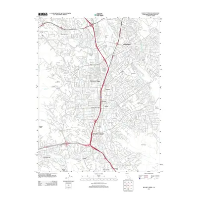
2012 Map of Walnut Creek
USGS Topo · Published 2012About this map
Buchanan Field Airport and the surrounding urban corridors of the East Bay define this landscape at the start of the 2010s. The dense residential and commercial expansion of Concord, Pleasant Hill, and Walnut Creek is woven together by the massive infrastructure of the Contra Costa Canal and the Mokelumne Aqueduct, which cut through the suburbs to supply the region. Beyond the major transit arteries of Interstate 680 and California 24, the map details specialized land uses including several golf courses and the campus of Diablo Valley College. The terrain is bounded by notable elevations like Shell Ridge and Martinez Ridge, while local history is preserved at the Queen of Heaven Cem and the older Lafayette Cem near the western edge of the survey.
Find a feature on this map
49 named features on this map. Tap any name to fly to it.
Don’t see what you’re looking for? This feature index may not catch every label — zoom into the map to look around manually.
Map Details
Editions of this 2012 Walnut Creek Map
This is the sole edition of this map. No revisions or reprints were ever made.
Other maps of this area

1896 · Carquinez Strait
USGS Topo · 1:62,500

1896 · Mt. Diablo
USGS Topo · 1:62,500

1897 · Concord
USGS Topo · 1:62,500

1898 · Karquines
USGS Topo · 1:62,500

1898 · Mt. Diablo
USGS Topo · 1:62,500

1901 · Karquines
USGS Topo · 1:62,500

1902 · Napa
USGS Topo · 1:125,000

1907 · Antioch
USGS Topo · 1:62,500

1908 · Antioch
USGS Topo · 1:62,500

1915 · Concord
USGS Topo · 1:62,500