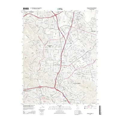
2015 Map of Walnut Creek
USGS Topo · Published 2015About this map
The dense suburban corridors of the East Bay converge in this 2015 study, dominated by the heavily developed Ygnacio Valley and the central hub of Walnut Creek. The landscape is a complex network of transit and utility infrastructure, where Interstate 680 and California 24 intersect near Saranap. Critical water management systems such as the Mokelumne Aqueduct and the Contra Costa Canal thread through residential neighborhoods, illustrating the engineering required to sustain these communities.
Find a feature on this map
48 named features on this map. Tap any name to fly to it.
Don’t see what you’re looking for? This feature index may not catch every label — zoom into the map to look around manually.
Map Details
Editions of this 2015 Walnut Creek Map
This is the sole edition of this map. No revisions or reprints were ever made.
Other maps of this area

1896 · Carquinez Strait
USGS Topo · 1:62,500

1896 · Mt. Diablo
USGS Topo · 1:62,500

1897 · Concord
USGS Topo · 1:62,500

1898 · Karquines
USGS Topo · 1:62,500

1898 · Mt. Diablo
USGS Topo · 1:62,500

1901 · Karquines
USGS Topo · 1:62,500

1902 · Napa
USGS Topo · 1:125,000

1907 · Antioch
USGS Topo · 1:62,500

1908 · Antioch
USGS Topo · 1:62,500

1915 · Concord
USGS Topo · 1:62,500