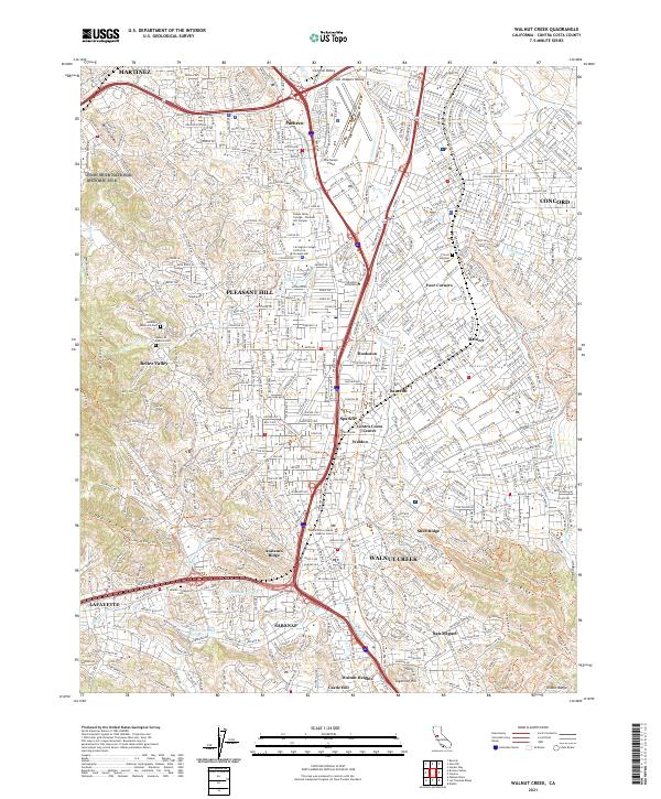
2021 Map of Walnut Creek
USGS Topo · Published 2021About this map
Walnut Creek and the surrounding Contra Costa cities appear here in a dense web of suburban development and protected green space. The map highlights the transition from the industrial and transport hubs of Martinez and Pacheco in the north to the residential valleys of Pleasant Hill and Lafayette. Significant regional infrastructure is visible, including the Mokelumne Aqueduct and the Contra Costa Canal Trail, which carve paths through the landscape alongside the major corridors of Interstate 680 and Highway 242.
Find a feature on this map
66 named features on this map. Tap any name to fly to it.
Don’t see what you’re looking for? This feature index may not catch every label — zoom into the map to look around manually.
Map Details
Editions of this 2021 Walnut Creek Map
This is the sole edition of this map. No revisions or reprints were ever made.
Other maps of this area

1896 · Carquinez Strait
USGS Topo · 1:62,500

1896 · Mt. Diablo
USGS Topo · 1:62,500

1897 · Concord
USGS Topo · 1:62,500

1898 · Karquines
USGS Topo · 1:62,500

1898 · Mt. Diablo
USGS Topo · 1:62,500

1901 · Karquines
USGS Topo · 1:62,500

1902 · Napa
USGS Topo · 1:125,000

1907 · Antioch
USGS Topo · 1:62,500

1908 · Antioch
USGS Topo · 1:62,500

1915 · Concord
USGS Topo · 1:62,500