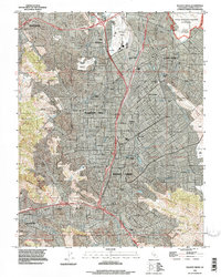
1993 Map of Walnut Creek
USGS Topo · Published 1997About this map
Walnut Creek and the neighboring suburban centers of Concord, Pleasant Hill, and Lafayette are shown here as they appeared in the early 1990s. The landscape is defined by the rapid convergence of residential development against the geographic boundaries of the Briones Hills and Lime Ridge. The map captures a critical period of infrastructure, showing the Contra Costa Canal and Mokelumne Aqueduct threading through the valley alongside established aviation and military hubs like Buchanan Field and the Naval Weapons Station (Concord).
Find a feature on this map
48 named features on this map. Tap any name to fly to it.
Don’t see what you’re looking for? This feature index may not catch every label — zoom into the map to look around manually.
Map Details
Editions of this 1993 Walnut Creek Map
This is the sole edition of this map. No revisions or reprints were ever made.
Other maps of this area

1896 · Carquinez Strait
USGS Topo · 1:62,500

1896 · Mt. Diablo
USGS Topo · 1:62,500

1897 · Concord
USGS Topo · 1:62,500

1898 · Karquines
USGS Topo · 1:62,500

1898 · Mt. Diablo
USGS Topo · 1:62,500

1901 · Karquines
USGS Topo · 1:62,500

1902 · Napa
USGS Topo · 1:125,000

1907 · Antioch
USGS Topo · 1:62,500

1908 · Antioch
USGS Topo · 1:62,500

1915 · Concord
USGS Topo · 1:62,500