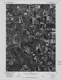
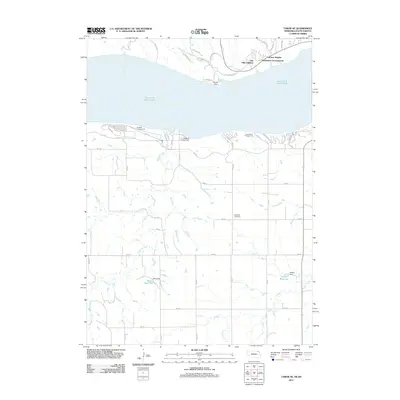
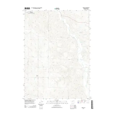
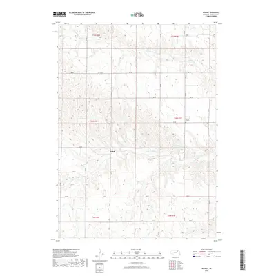
1954 Map of Walnut
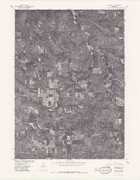
USGS Topo · Published 1992About this map
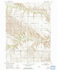
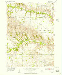
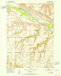
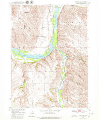
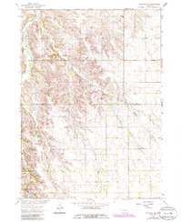
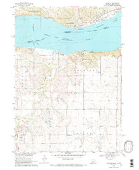
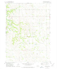
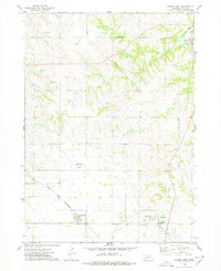
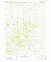
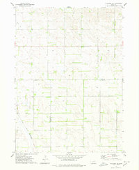
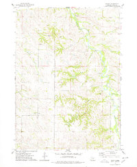
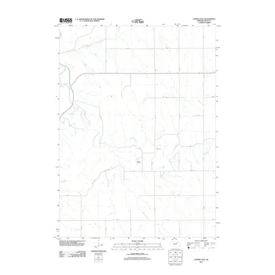
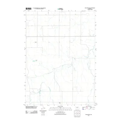
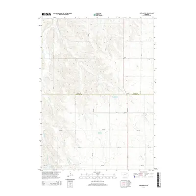
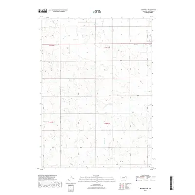
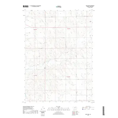
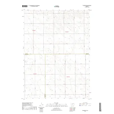
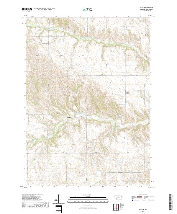
The unincorporated settlement of Walnut serves as the focal point of this 1950s Nebraska survey, situated near the confluence of the Middle Branch Verdigre Creek and the North Branch Verdigre Creek. The landscape is defined by the township boundaries of Bohemia, Washington, Jefferson, Walnut Grove, and Logan, revealing a deeply rural social structure anchored by a high density of one-room schoolhouses. Notable institutions include Oak Valley Sch and Cottonwood Grove Sch, along with numerous numbered districts such as School No 61 and School No 18. Religious and community life is further evidenced by St Paul Ch and early burial sites like Jelen Cem and Pleasant Valley Cem, providing essential locations for genealogists tracing Knox County families during the mid-20th century.
Find a feature on this map
17 named features on this map. Tap any name to fly to it.
Don’t see what you’re looking for? This feature index may not catch every label — zoom into the map to look around manually.
Map Details
Editions of this 1954 Walnut Map
2 editions found
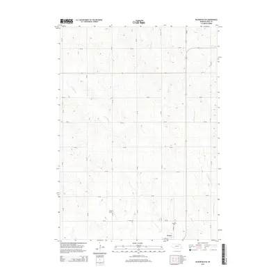
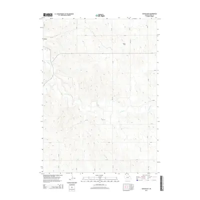
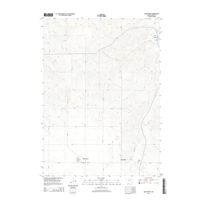
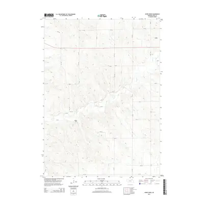
Historical Maps of Walnut Through Time
70 maps found
1950 Pishelville
Knox County, NE
1950 Verdigre NE
Knox County, NE
1954 Walnut
Knox County, NE
1963 Orchard NE
Knox County, NE
1963 Orchard NW
Knox County, NE

1968 Bloomfield NE
Knox County, NE
1968 Bloomfield SE
Knox County, NE
1968 Gavins Point Dam
Knox County, NE
1968 Tabor SE
Knox County, NE
1974 Center East
Knox County, NE
1974 Center West
Knox County, NE
1974 Howe Creek
Knox County, NE
1974 Plainview NE
Knox County, NE
1974 Sparta
Knox County, NE
1977 Center East
Knox County, NE
1977 Center West
Knox County, NE
1977 Howe Creek
Knox County, NE
1977 Sparta
Knox County, NE
2011 Bloomfield NE
Knox County, NE
2011 Bloomfield SE
Knox County, NE
2011 Center East
Knox County, NE
2011 Center West
Knox County, NE
2011 Howe Creek
Knox County, NE
2011 Orchard NE
Knox County, NE
2011 Orchard NW
Knox County, NE
2011 Pishelville
Knox County, NE
2011 Plainview NE
Knox County, NE
2011 Sparta
Knox County, NE
2011 Tabor SE
Knox County, NE
2011 Verdigre NE
Knox County, NE
2011 Walnut
Knox County, NE
2014 Bloomfield NE
Knox County, NE
2014 Bloomfield SE
Knox County, NE
2014 Center East
Knox County, NE
2014 Center West
Knox County, NE
2014 Howe Creek
Knox County, NE
2014 Orchard NE
Knox County, NE
2014 Orchard NW
Knox County, NE
2014 Pishelville
Knox County, NE
2014 Plainview NE
Knox County, NE
2014 Sparta
Knox County, NE
2014 Tabor SE
Knox County, NE
2014 Verdigre NE
Knox County, NE
2014 Walnut
Knox County, NE
2017 Bloomfield NE
Knox County, NE
2017 Bloomfield SE
Knox County, NE
2017 Center East
Knox County, NE
2017 Center West
Knox County, NE
2017 Howe Creek
Knox County, NE
2017 Orchard NE
Knox County, NE
2017 Orchard NW
Knox County, NE
2017 Pishelville
Knox County, NE
2017 Plainview NE
Knox County, NE
2017 Sparta
Knox County, NE
2017 Tabor SE
Knox County, NE
2017 Verdigre NE
Knox County, NE
2017 Walnut
Knox County, NE
2021 Bloomfield NE
Knox County, NE
2021 Bloomfield SE
Knox County, NE
2021 Center East
Knox County, NE
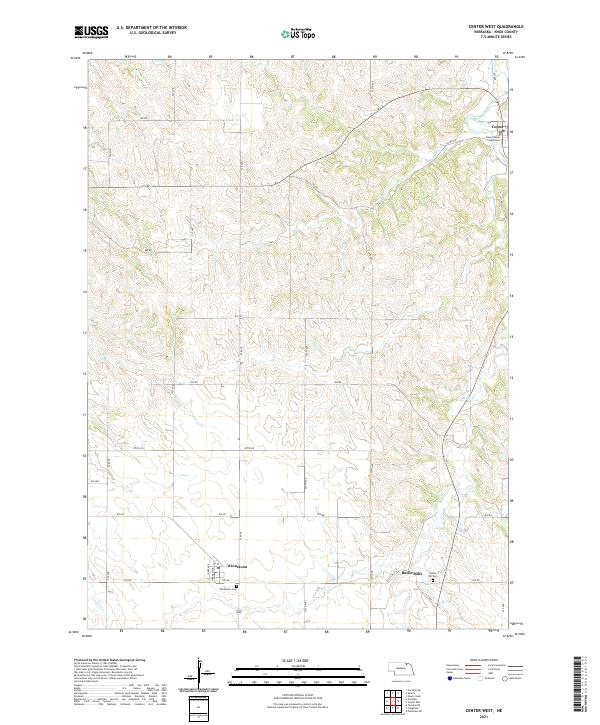
2021 Center West
Knox County, NE
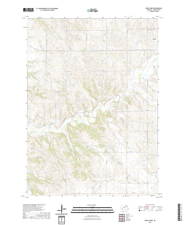
2021 Howe Creek
Knox County, NE
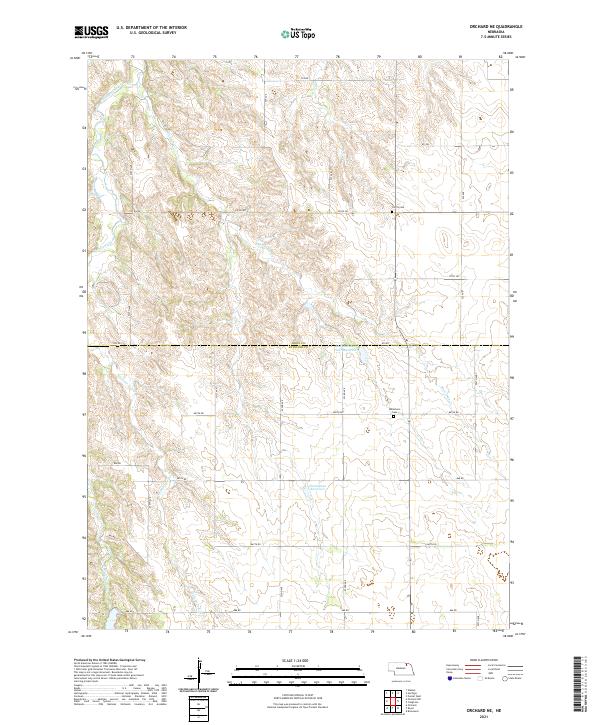
2021 Orchard NE
Knox County, NE
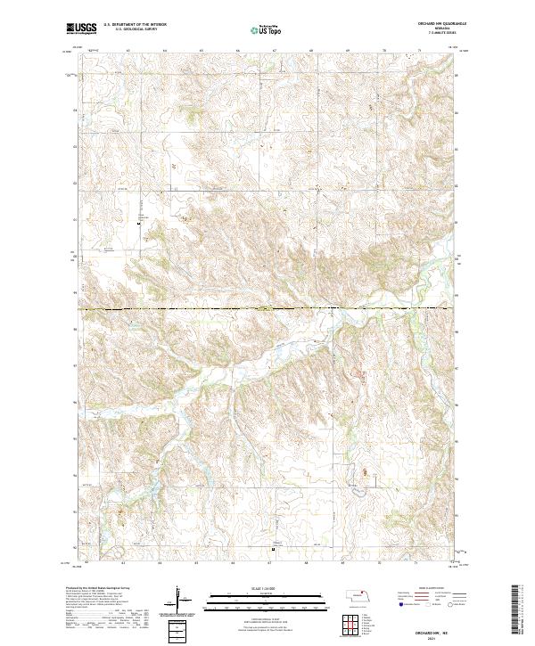
2021 Orchard NW
Knox County, NE
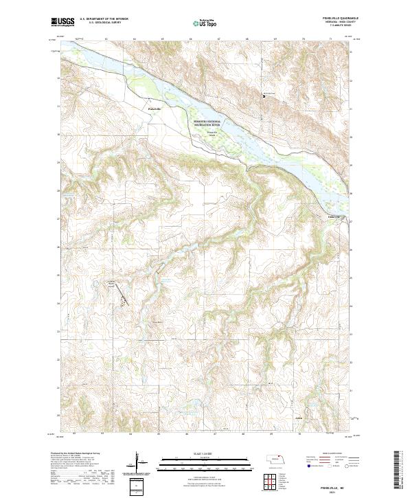
2021 Pishelville
Knox County, NE
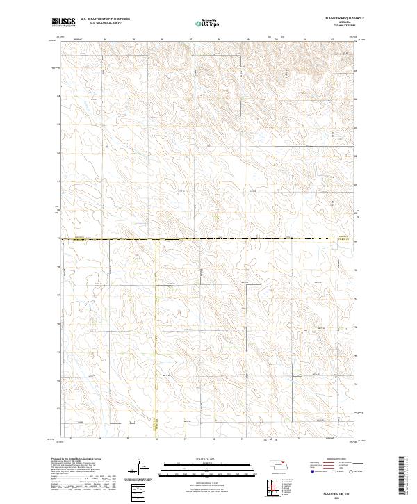
2021 Plainview NE
Knox County, NE
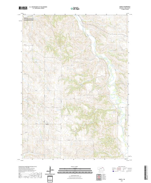
2021 Sparta
Knox County, NE
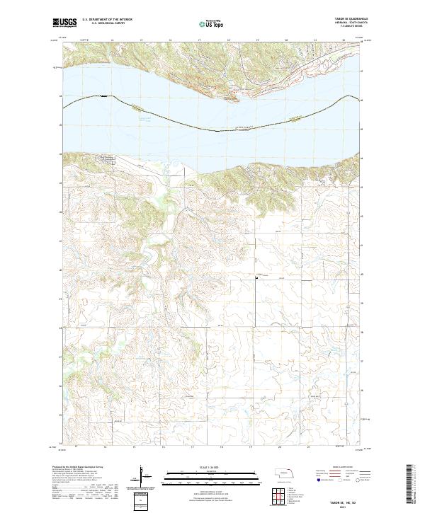
2021 Tabor SE
Knox County, NE
2021 Verdigre NE
Knox County, NE
2021 Walnut
Knox County, NE