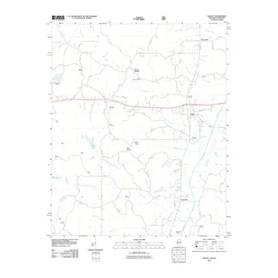
2010 Map of Walnut
USGS Topo · Published 2010About this map
Walnut and the surrounding Tippah County countryside are defined by a network of rural settlements and many small cemeteries that speak to the long-standing community roots in the area. The landscape is heavily marked by the drainage systems of Hurricane Creek, Muddy Creek, and the North Branch Hurricane Creek, which feed into local landmarks like Muddy Lake. Of particular note is the Biloxi National Cemetery, situated among smaller crossroads communities such as Mount Moriah and Brownfield. These settlements are linked by a dense grid of county roads that navigate the varying terrain, connecting local families to historic burial grounds including Enon Cemetery, New Salem Cemetery, and the Tipplersville Cemetery further south near Tiplersville. The map illustrates a modern rural geography where traditional community anchors—churches and family cemeteries—persist alongside updated infrastructure.
Find a feature on this map
81 named features on this map. Tap any name to fly to it.
Don’t see what you’re looking for? This feature index may not catch every label — zoom into the map to look around manually.
Map Details
Editions of this 2010 Walnut Map
This is the sole edition of this map. No revisions or reprints were ever made.
Other maps of this area

1950 · Ashland
USGS Topo · 1:62,500

1950 · Pocahontas
USGS Topo · 1:24,000

1950 · Middleton
USGS Topo · 1:24,000

1951 · Middleton
USGS Topo · 1:24,000

1951 · Walnut
USGS Topo · 1:62,500

1952 · Pocahontas
USGS Topo · 1:24,000

1952 · Saulsbury
USGS Topo · 1:24,000

1956 · Blytheville
USGS Topo · 1:250,000

1956 · Tupelo
USGS Topo · 1:250,000

1958 · Tupelo
USGS Topo · 1:250,000