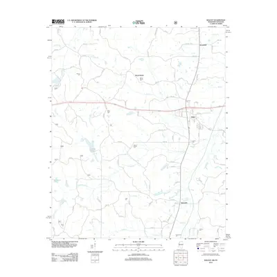
2012 Map of Walnut
USGS Topo · Published 2012About this map
Walnut and Tiplersville anchor the local road network in this section of Tippah County, where the landscape is defined by the headwaters and branches of Hurricane Cr, Big Cr, and Muddy Cr. The area is densely punctuated by small community burial grounds, such as Oakland Cem, Gossett Cem, and New Salem Cem, providing significant geographic markers for local family history and genealogy. At Mount Moriah, the presence of both a settlement label and the Mount Moriah Cem suggests a long-standing focal point for the surrounding rural community. These small clusters of homes and churches are linked by an extensive system of numbered county roads that follow the drainage patterns of the north-central Mississippi hills. Further south, the terrain opens into the valleys of Bluff Cr and Turkey Cr, illustrating the hydrological transition between the upland ridges and the lower creek bottoms.
Find a feature on this map
107 named features on this map. Tap any name to fly to it.
Don’t see what you’re looking for? This feature index may not catch every label — zoom into the map to look around manually.
Map Details
Editions of this 2012 Walnut Map
This is the sole edition of this map. No revisions or reprints were ever made.
Other maps of this area

1950 · Ashland
USGS Topo · 1:62,500

1950 · Pocahontas
USGS Topo · 1:24,000

1950 · Middleton
USGS Topo · 1:24,000

1951 · Middleton
USGS Topo · 1:24,000

1951 · Walnut
USGS Topo · 1:62,500

1952 · Pocahontas
USGS Topo · 1:24,000

1952 · Saulsbury
USGS Topo · 1:24,000

1956 · Blytheville
USGS Topo · 1:250,000

1956 · Tupelo
USGS Topo · 1:250,000

1958 · Tupelo
USGS Topo · 1:250,000