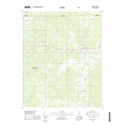
2018 Map of Walnut
USGS Topo · Published 2018About this map
Walnut and the surrounding borderlands of Tippah County, Mississippi, are depicted here in detail alongside the Tennessee state line. This rural landscape is defined by its deep genealogical roots, with more than a dozen burial grounds scattered across the terrain, including New Salem Cem, Enon Cem, and Smyrna Cem. The southern reach of the Holly Springs National Forest covers the western portion of the quadrangle, surrounding Muddy Lake and the headwaters of several creek systems.
Find a feature on this map
97 named features on this map. Tap any name to fly to it.
Don’t see what you’re looking for? This feature index may not catch every label — zoom into the map to look around manually.
Map Details
Editions of this 2018 Walnut Map
This is the sole edition of this map. No revisions or reprints were ever made.
Other maps of this area

1950 · Ashland
USGS Topo · 1:62,500

1950 · Pocahontas
USGS Topo · 1:24,000

1950 · Middleton
USGS Topo · 1:24,000

1951 · Middleton
USGS Topo · 1:24,000

1951 · Walnut
USGS Topo · 1:62,500

1952 · Pocahontas
USGS Topo · 1:24,000

1952 · Saulsbury
USGS Topo · 1:24,000

1956 · Blytheville
USGS Topo · 1:250,000

1956 · Tupelo
USGS Topo · 1:250,000

1958 · Tupelo
USGS Topo · 1:250,000