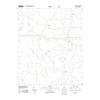
2024 Map of Walnut
USGS Topo · Published 2024About this map
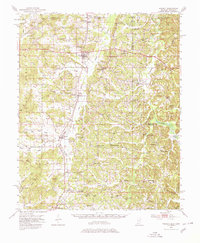
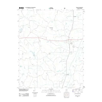
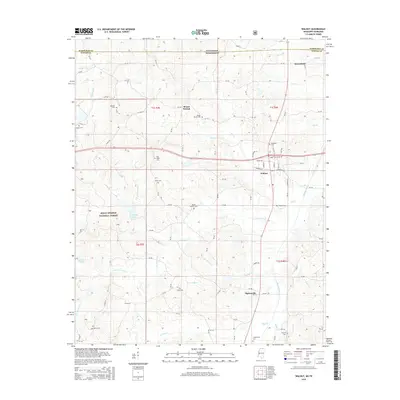
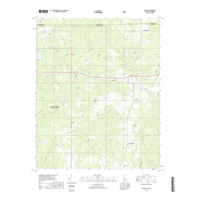
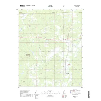
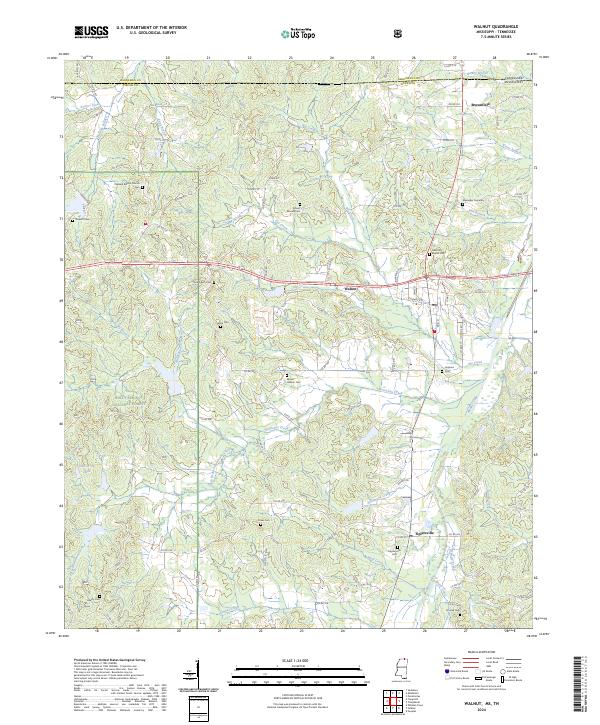
Walnut serves as the central hub of this North Mississippi landscape, situated just south of the Tennessee border where the Holly Springs National Forest begins to shape the western terrain. The geography is defined by a dense network of creek systems, including Hurricane Creek and Muddy Creek, which have historically dictated the placement of small communities and family burial grounds. The map reveals a high concentration of cemeteries such as Mount Moriah Cem, Alexander Cemetary, and Smyrna Cem, indicating a long-settled rural population and providing a vital resource for genealogical research in Tippah County.
Find a feature on this map
102 named features on this map. Tap any name to fly to it.
Don’t see what you’re looking for? This feature index may not catch every label — zoom into the map to look around manually.
Map Details
Editions of this 2024 Walnut Map
This is the sole edition of this map. No revisions or reprints were ever made.
Historical Maps of Walnut Through Time
9 maps found