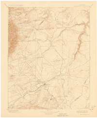
1897 Map of Walsenburg
USGS Topo · Published 1923About this map
Walsenburg serves as the focal point of this late-19th-century study, situated at the intersection of critical Southern Colorado transportation corridors. The rail-dominated landscape features the Denver and Rio Grande R. R. and its La Veta Branch, alongside the Colorado and Southern R. R., highlighting the era's dependence on steam power for moving resources from the high plains to the mountain front. Significant landmarks like Huerfano Butte and Hayden Butte rise from the terrain near the Huerfano River, while the western edge is defined by the San Isabel National Forest and the Wet Mountains. Settlements such as Pictou, Rouse, and Huerfano Sta. (Ute P.O.) illustrate the scattered development of Huerfano County before modern highway systems reorganized the region.
Find a feature on this map
41 named features on this map. Tap any name to fly to it.
Don’t see what you’re looking for? This feature index may not catch every label — zoom into the map to look around manually.
Map Details
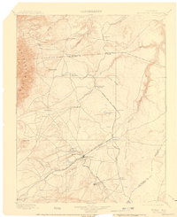
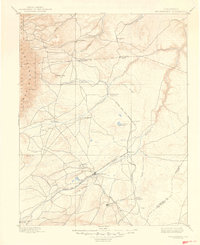
Editions of this 1897 Walsenburg Map
4 editions found

Other maps of this area

1889 · Canon City
USGS Topo · 1:125,000

1889 · Huerfano Park
USGS Topo · 1:125,000

1891 · Walsenburg
USGS Topo · 1:125,000

1891 · Pueblo
USGS Topo · 1:125,000

1891 · Spanish Peaks
USGS Topo · 1:125,000

1891 · Nepesta
USGS Topo · 1:125,000

1891 · Apishapa
USGS Topo · 1:125,000

1892 · Huerfano Park
USGS Topo · 1:125,000

1892 · Canon City
USGS Topo · 1:125,000

1892 · Elmoro
USGS Topo · 1:125,000