
1897 Map of Walsenburg
USGS Topo · Published 1897About this map
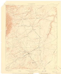
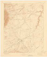
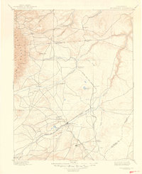
Walsenburg serves as the primary hub of this nineteenth-century high plains landscape, situated where the Denver And Rio Grande R. R. intersects the drainage of the Cuchara River. The map illustrates a transitional economy of the 1890s, where older cattle-country outposts like Greenhorn and Rye in the shadows of the Greenhorn Mountains meet the emerging industrial rail corridors. Significant infrastructure of the era is evident in the La Veta Branch and the Trinidad Line, which connect several coal-related settlements and rail stops including Pictou, Rouse, and Tioga. The geography is defined by the intermittent flow of the Huerfano River and its various tributaries such as Apache Creek and Sull Creek, alongside landmarks like Huerfano Butte and Bradford Lake that provided essential navigation points for travelers across the Huerfano and Pueblo county lines.
Find a feature on this map
40 named features on this map. Tap any name to fly to it.
Don’t see what you’re looking for? This feature index may not catch every label — zoom into the map to look around manually.
Map Details
Editions of this 1897 Walsenburg Map
4 editions found
Other maps of this area

1889 · Canon City
USGS Topo · 1:125,000

1889 · Huerfano Park
USGS Topo · 1:125,000

1891 · Walsenburg
USGS Topo · 1:125,000

1891 · Pueblo
USGS Topo · 1:125,000

1891 · Spanish Peaks
USGS Topo · 1:125,000

1891 · Nepesta
USGS Topo · 1:125,000

1891 · Apishapa
USGS Topo · 1:125,000

1892 · Huerfano Park
USGS Topo · 1:125,000

1892 · Canon City
USGS Topo · 1:125,000

1892 · Elmoro
USGS Topo · 1:125,000