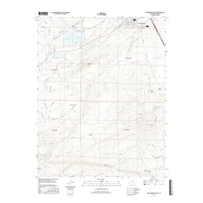
2016 Map of Walsenburg South
USGS Topo · Published 2016About this map
Walsenburg serves as the focal point in the upper reaches of this Colorado landscape, where the High Plains meet the complex geological formations of Huerfano County. The city’s infrastructure is closely tied to its water management, evidenced by the Walsenburg Water System Reservoir and a network of irrigation channels like the Gomez Ditch and Hojita Ditch. To the west, the striking verticality of The Hogback and Unfug Ridge frames the basins of Horseshoe Lake Reservoir and Martin Lake Reservoir, highlighting the area's transition from urban grid to structured wilderness.
Find a feature on this map
81 named features on this map. Tap any name to fly to it.
Don’t see what you’re looking for? This feature index may not catch every label — zoom into the map to look around manually.
Map Details
Editions of this 2016 Walsenburg South Map
This is the sole edition of this map. No revisions or reprints were ever made.
Other maps of this area

1891 · Walsenburg
USGS Topo · 1:125,000

1891 · Spanish Peaks
USGS Topo · 1:125,000

1893 · Spanish Peaks
USGS Topo · 1:125,000

1894 · Walsenburg
USGS Topo · 1:125,000

1895 · Spanish Peaks
USGS Topo · 1:125,000

1897 · Walsenburg
USGS Topo · 1:125,000

1897 · Spanish Peaks
USGS Topo · 1:125,000

1900 · Spanish Peaks
USGS Topo · 1:125,000

1900 · Walsenburg
USGS Topo · 1:125,000

1954 · Trinidad
USGS Topo · 1:250,000