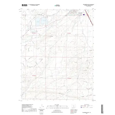
2019 Map of Walsenburg South
USGS Topo · Published 2019About this map
Walsenburg serves as the focal point for this southern Colorado landscape, where the high plains meet the intricate geological formations of Huerfano County. The northern edge of the map is defined by significant water management infrastructure, including the Gomez Ditch and Holita Ditch which divert the Cucharas River to support the arid surrounding lands. Just south of the town center, the South Saint Mary Cem and Laguna Cem provide valuable touchpoints for genealogists and local historians researching the area’s pioneer roots.
Find a feature on this map
85 named features on this map. Tap any name to fly to it.
Don’t see what you’re looking for? This feature index may not catch every label — zoom into the map to look around manually.
Map Details
Editions of this 2019 Walsenburg South Map
This is the sole edition of this map. No revisions or reprints were ever made.
Other maps of this area

1891 · Walsenburg
USGS Topo · 1:125,000

1891 · Spanish Peaks
USGS Topo · 1:125,000

1893 · Spanish Peaks
USGS Topo · 1:125,000

1894 · Walsenburg
USGS Topo · 1:125,000

1895 · Spanish Peaks
USGS Topo · 1:125,000

1897 · Walsenburg
USGS Topo · 1:125,000

1897 · Spanish Peaks
USGS Topo · 1:125,000

1900 · Spanish Peaks
USGS Topo · 1:125,000

1900 · Walsenburg
USGS Topo · 1:125,000

1954 · Trinidad
USGS Topo · 1:250,000