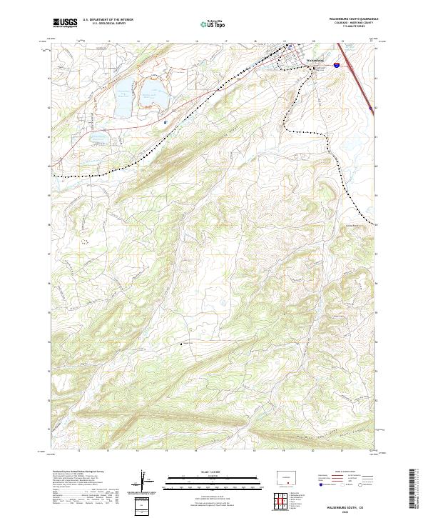
2022 Map of Walsenburg South
USGS Topo · Published 2022About this map
Walsenburg serves as the northern anchor of this landscape, where the urban grid gives way to the geological drama of southern Colorado. The most striking landform is The Hogback, a sharp ridge that defines the local topography and guides the Hogback Nature Trl. This area is heavily defined by its water management systems, featuring the Horseshoe Lake Reservoir, Martin Lake Reservoir, and the Walsenburg Reservoir. These bodies of water, along with the Lake Merriam Ditch, Gomez Ditch, and Hulita Ditch, illustrate the critical infrastructure required to divert the Cucharas River for local use.
Find a feature on this map
78 named features on this map. Tap any name to fly to it.
Don’t see what you’re looking for? This feature index may not catch every label — zoom into the map to look around manually.
Map Details
Editions of this 2022 Walsenburg South Map
This is the sole edition of this map. No revisions or reprints were ever made.
Other maps of this area

1891 · Walsenburg
USGS Topo · 1:125,000

1891 · Spanish Peaks
USGS Topo · 1:125,000

1893 · Spanish Peaks
USGS Topo · 1:125,000

1894 · Walsenburg
USGS Topo · 1:125,000

1895 · Spanish Peaks
USGS Topo · 1:125,000

1897 · Walsenburg
USGS Topo · 1:125,000

1897 · Spanish Peaks
USGS Topo · 1:125,000

1900 · Spanish Peaks
USGS Topo · 1:125,000

1900 · Walsenburg
USGS Topo · 1:125,000

1954 · Trinidad
USGS Topo · 1:250,000