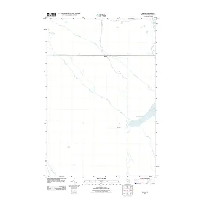
2011 Map of Walsh
USGS Topo · Published 2011About this map
Walsh stands as the central point of reference in this Schoolcraft County landscape, situated at the intersection of local transportation and drainage. The settlement's surroundings are defined by an intricate network of waterways, including Walsh Creek and the meandering Marsh Creek, which flows southeast toward the expansive C-Three Pool. This area exhibits a distinct pattern of water management and transit, evidenced by the presence of Spur Ditch and the aptly named Walsh Grade. To the east, the Driggs River provides a primary natural boundary, while Ecklund Rd and the Walsh Grade represent the essential terrestrial routes through this wetland-heavy territory. The proximity of the Creighton River in the southwestern corner further emphasizes the region's reliance on these riparian corridors for local navigation and land use.
Find a feature on this map
10 named features on this map. Tap any name to fly to it.
Don’t see what you’re looking for? This feature index may not catch every label — zoom into the map to look around manually.
Map Details
Editions of this 2011 Walsh Map
This is the sole edition of this map. No revisions or reprints were ever made.
Other maps of this area

1931 · Manistique River NE
USGS Topo · 1:31,680

1931 · Driggs Lake NE
USGS Topo · 1:31,680

1931 · Steuben NE
USGS Topo · 1:31,680

1931 · Manistique River NW
USGS Topo · 1:31,680

1931 · Shingleton NE
USGS Topo · 1:31,680

1931 · Driggs Lake NW
USGS Topo · 1:31,680

1931 · Shingleton SE
USGS Topo · 1:31,680

1931 · Driggs Lake SW
USGS Topo · 1:31,680

1931 · Driggs Lake SE
USGS Topo · 1:31,680

1958 · Shingleton
USGS Topo · 1:62,500