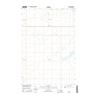
2014 Map of Walsh
USGS Topo · Published 2014About this map
Walsh serves as the central focal point of this Schoolcraft County interior, situated along the M-28 corridor in Michigan's Upper Peninsula. The landscape is defined by an intricate network of waterways and managed drainage, with the Driggs River flowing through the northeast corner and the Creighton River crossing the southwest. Local transportation and access are marked by the presence of the Walsh Grade and Ecklund Rd, reflecting the region's history of logging and land management.
Find a feature on this map
17 named features on this map. Tap any name to fly to it.
Don’t see what you’re looking for? This feature index may not catch every label — zoom into the map to look around manually.
Map Details
Editions of this 2014 Walsh Map
This is the sole edition of this map. No revisions or reprints were ever made.
Other maps of this area

1931 · Manistique River NE
USGS Topo · 1:31,680

1931 · Driggs Lake NE
USGS Topo · 1:31,680

1931 · Steuben NE
USGS Topo · 1:31,680

1931 · Manistique River NW
USGS Topo · 1:31,680

1931 · Shingleton NE
USGS Topo · 1:31,680

1931 · Driggs Lake NW
USGS Topo · 1:31,680

1931 · Shingleton SE
USGS Topo · 1:31,680

1931 · Driggs Lake SW
USGS Topo · 1:31,680

1931 · Driggs Lake SE
USGS Topo · 1:31,680

1958 · Shingleton
USGS Topo · 1:62,500