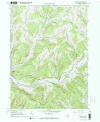
1965 Map of Walton East
USGS Topo · Published 1966About this map
The West Branch Delaware River carves a deep valley through the center of this terrain, serving as the primary corridor for settlement and transit in the mid-1960s. The village of Walton sits at the western edge of the sheet, where residential streets meet the riverbanks and the Old Railroad Grade traces the valley floor, marking the path of former rail commerce. To the east, the small settlement of Hawleys occupies a bend in the river near Mallory Brook.
Find a feature on this map
39 named features on this map. Tap any name to fly to it.
Don’t see what you’re looking for? This feature index may not catch every label — zoom into the map to look around manually.
Map Details
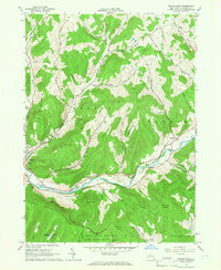
Editions of this 1965 Walton East Map
2 editions found
Other maps of this area

1909 · Delhi
USGS Topo · 1:62,500

1911 · Delhi
USGS Topo · 1:62,500

1915 · Oneonta
USGS Topo · 1:62,500

1918 · Oneonta
USGS Topo · 1:62,500

1922 · Andes
USGS Topo · 1:62,500

1923 · Walton
USGS Topo · 1:48,000

1924 · Andes
USGS Topo · 1:62,500

1925 · Walton
USGS Topo · 1:62,500

1943 · Delhi
USGS Topo · 1:24,000

1943 · Franklin
USGS Topo · 1:24,000