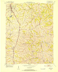
1950 Map of Walton
USGS Topo · Published 1952About this map
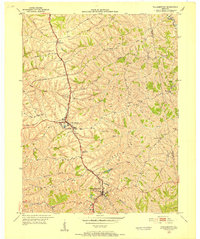
The railroad junction at Walton serves as the focal point of this 1950s survey, where the Louisville and Nashville and Southern lines intersect. The map documents the intricate network of family cemeteries and small rural congregations across the ridges of Northern Kentucky, including the Pennick-Price Cem, Byland Cem, and Grayson Cem. These burial sites, often situated on high ground above drainages like Cruises Creek and Sawyers Fork, provide a critical record for genealogists researching the local lineage of Boone, Kenton, and Grant Counties. Small crossroads communities such as Bracht and Piner are depicted with their original building footprints, showing the dispersed settlement pattern that characterized the region before later suburban expansion. The terrain is marked by the headwaters of North Fork Grassy Creek, with isolated landmarks like Goshen Ch and Carters Chapel anchoring the social geography of the era.
Find a feature on this map
44 named features on this map. Tap any name to fly to it.
Don’t see what you’re looking for? This feature index may not catch every label — zoom into the map to look around manually.
Map Details
Editions of this 1950 Walton Map
This is the sole edition of this map. No revisions or reprints were ever made.
Other maps of this area

1929 · Alexandria
USGS Topo · 1:48,000

1930 · Falmouth
USGS Topo · 1:48,000

1936 · Alexandria
USGS Topo · 1:62,500
1936 · Falmouth
USGS Topo · 1:62,500
1950 · Elliston
USGS Topo · 1:24,000
1950 · Union
USGS Topo · 1:24,000
1950 · Williamstown
USGS Topo · 1:24,000
1950 · Independence
USGS Topo · 1:24,000
1950 · Verona
USGS Topo · 1:24,000
1953 · De Mossville
USGS Topo · 1:24,000