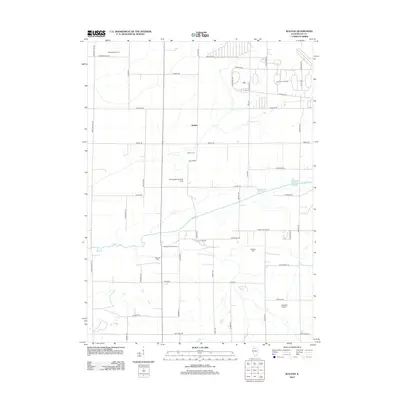
2012 Map of Walton
USGS Topo · Published 2012About this map
The Green River meanders across this rural section of Lee County, Illinois, defining the agricultural character of the landscape near the settlement of Walton. In the early 21st century, this area remains a mix of established family operations like Rhodenbaugh Farm and Olson Farms, alongside specialized sites such as Camp Joy Bible Camp and Camp H C Walner. Small-scale aviation is a distinct feature of the local infrastructure, represented by the Rasmussen Landing Strip and Albrecht Airport.
Find a feature on this map
48 named features on this map. Tap any name to fly to it.
Don’t see what you’re looking for? This feature index may not catch every label — zoom into the map to look around manually.
Map Details
Editions of this 2012 Walton Map
This is the sole edition of this map. No revisions or reprints were ever made.
Other maps of this area

1918 · Dixon
USGS Topo · 1:62,500

1930 · Woodsung
USGS Topo · 1:48,000

1946 · Sterling
USGS Topo · 1:62,500

1948 · Sterling
USGS Topo · 1:62,500

1949 · Walnut
USGS Topo · 1:62,500

1950 · Dixon
USGS Topo · 1:62,500

1951 · Amboy
USGS Topo · 1:62,500

1958 · Aurora
USGS Topo · 1:250,000

1961 · Aurora
USGS Topo · 1:250,000

1982 · Harmon
USGS Topo · 1:24,000