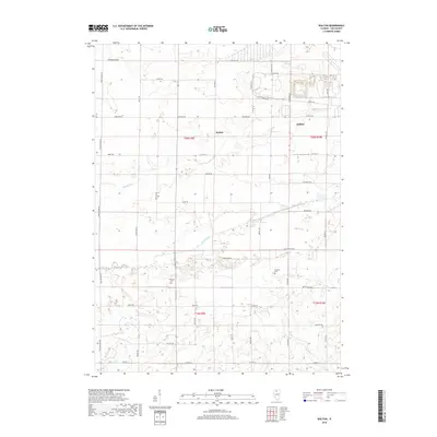
2018 Map of Walton
USGS Topo · Published 2018About this map
The Green River meanders across this rural section of Lee County, defining a landscape of agricultural tracts and drainage infrastructure like the Main Ditch. At the center of the sheet, the small settlement of Walton sits along Walton Rd, while the western edge of Amboy appears in the northeast. This area maintains a strong connection to its early 19th and 20th-century roots through preserved sites like Stevens Cem and Williams Cem, which offer significant value for genealogical research in Amboy Township.
Find a feature on this map
47 named features on this map. Tap any name to fly to it.
Don’t see what you’re looking for? This feature index may not catch every label — zoom into the map to look around manually.
Map Details
Editions of this 2018 Walton Map
This is the sole edition of this map. No revisions or reprints were ever made.
Other maps of this area

1918 · Dixon
USGS Topo · 1:62,500

1930 · Woodsung
USGS Topo · 1:48,000

1946 · Sterling
USGS Topo · 1:62,500

1948 · Sterling
USGS Topo · 1:62,500

1949 · Walnut
USGS Topo · 1:62,500

1950 · Dixon
USGS Topo · 1:62,500

1951 · Amboy
USGS Topo · 1:62,500

1958 · Aurora
USGS Topo · 1:250,000

1961 · Aurora
USGS Topo · 1:250,000

1982 · Harmon
USGS Topo · 1:24,000