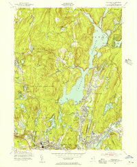
1954 Map of Wanaque
USGS Topo · Published 1956About this map
The Wanaque Reservoir dominates the landscape of Passaic County, its jagged shoreline creating a central water system for the surrounding valley. In this mid-century survey, the communities of Midvale, Wanaque, and Haskell are shown in detail, clustered along the river and rail corridors. The Erie Railroad and the New York Susquehanna and Western Railroad parallel the local waterways, supporting the area's industrial nodes such as Smiths Mills.
Find a feature on this map
95 named features on this map. Tap any name to fly to it.
Don’t see what you’re looking for? This feature index may not catch every label — zoom into the map to look around manually.
Map Details
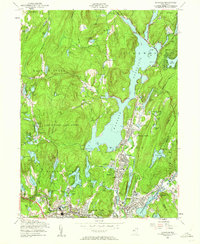
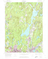
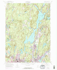
Editions of this 1954 Wanaque Map
4 editions found
Other maps of this area

1888 · Morristown
USGS Topo · 1:62,500

1888 · Paterson
USGS Topo · 1:62,500

1891 · Greenwood Lake
USGS Topo · 1:62,500

1891 · Ramapo
USGS Topo · 1:62,500

1892 · Paterson
USGS Topo · 1:62,500

1893 · Greenwood Lake
USGS Topo · 1:62,500

1893 · Ramapo
USGS Topo · 1:62,500

1894 · Morristown
USGS Topo · 1:62,500

1898 · Morristown
USGS Topo · 1:62,500

1898 · Paterson
USGS Topo · 1:62,500