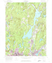
1954 Map of Wanaque
USGS Topo · Published 1974About this map
Wanaque Reservoir dominates the landscape of this 1954 survey, which highlights the industrial and residential growth of northern New Jersey through the early 1970s. The presence of the New York Susquehanna and Western RR cutting through Wanaque-Midvale and Haskell illustrates the critical transportation corridor that shaped these Passaic County communities. The map captures a transitional era, where traditional settlements like Bloomingdale and Butler began expanding toward the wooded hills of the Norvin Green State Forest.
Find a feature on this map
81 named features on this map. Tap any name to fly to it.
Don’t see what you’re looking for? This feature index may not catch every label — zoom into the map to look around manually.
Map Details
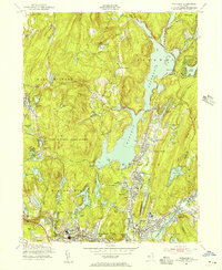
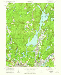
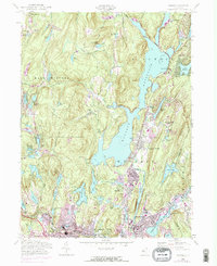
Editions of this 1954 Wanaque Map
4 editions found
Other maps of this area

1888 · Morristown
USGS Topo · 1:62,500

1888 · Paterson
USGS Topo · 1:62,500

1891 · Greenwood Lake
USGS Topo · 1:62,500

1891 · Ramapo
USGS Topo · 1:62,500

1892 · Paterson
USGS Topo · 1:62,500

1893 · Greenwood Lake
USGS Topo · 1:62,500

1893 · Ramapo
USGS Topo · 1:62,500

1894 · Morristown
USGS Topo · 1:62,500

1898 · Morristown
USGS Topo · 1:62,500

1898 · Paterson
USGS Topo · 1:62,500