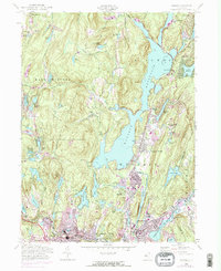
1954 Map of Wanaque
USGS Topo · Published 1974About this map
Wanaque Reservoir dominates this Passaic County landscape, its waters contained by the Midvale Dam and fed by the Wanaque River. The map captures the post-war development of New Jersey's Highlands, where dense clusters of homes in Wanaque-Midvale and Haskell contrast with the protected woodlands of the Norvin Green State Forest. Local education and faith centers like the Eleanor Hewitt Sch and Queen of the Rosary Sch serve as community anchors amidst a network of smaller water bodies such as Erskine Lakes and Lake Sonoma. Transportation is defined by the New York Susquehanna and Western railroad and the Susquehanna Road, which trace the valley floor near Federal Hill. The presence of Smiths Mills and the Gaging Sta reflect a regional history tied to river management and early industry.
Find a feature on this map
81 named features on this map. Tap any name to fly to it.
Don’t see what you’re looking for? This feature index may not catch every label — zoom into the map to look around manually.
Map Details
Editions of this 1954 Wanaque Map
4 editions found
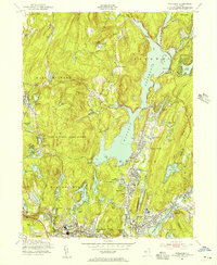
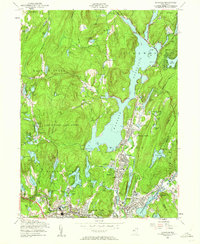
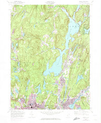
Other maps of this area

1888 · Morristown
USGS Topo · 1:62,500

1888 · Paterson
USGS Topo · 1:62,500

1891 · Greenwood Lake
USGS Topo · 1:62,500

1891 · Ramapo
USGS Topo · 1:62,500

1892 · Paterson
USGS Topo · 1:62,500

1893 · Greenwood Lake
USGS Topo · 1:62,500

1893 · Ramapo
USGS Topo · 1:62,500

1894 · Morristown
USGS Topo · 1:62,500

1898 · Morristown
USGS Topo · 1:62,500

1898 · Paterson
USGS Topo · 1:62,500