
1978 Map of Wapiti Creek
USGS Topo · Published 1978About this map
Chamberlain Ridge dominates the high-elevation landscape of the Payette National Forest in this late-1970s survey. The area is defined by the Idaho Primitive Area, a designation that reflects a region preserved from modern development, where transit relied on a network of Pack Trails rather than roads. The map reveals small pockets of human presence in this wilderness, including the Mc Coy Cabin and Rock Ranch, which sits near a remote Landing Strip. High-mountain riparian zones like Wapiti Meadows, Moose Meadows, and Whimstick Meadows serve as essential landmarks for navigation through the dense drainage basins of Chamberlain Creek and the many forks of Whimstick Creek. These named clearings and water sources like Moose Jaw Springs suggest a landscape valued for seasonal grazing or backcountry exploration during this era.
Find a feature on this map
24 named features on this map. Tap any name to fly to it.
Don’t see what you’re looking for? This feature index may not catch every label — zoom into the map to look around manually.
Map Details
Editions of this 1978 Wapiti Creek Map
This is the sole edition of this map. No revisions or reprints were ever made.
Other maps of this area

1956 · Elk City
USGS Topo · 1:250,000

1960 · Elk City
USGS Topo · 1:250,000

1962 · Vinegar Hill
USGS Topo · 1:24,000

1973 · Acorn Butte
USGS Topo · 1:24,000

1973 · Bismark Mtn
USGS Topo · 1:24,000

1974 · Meadow Of Doubt
USGS Topo · 1:24,000

1978 · Arctic Point
USGS Topo · 1:24,000
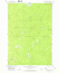
1978 · Lodgepole Creek
USGS Topo · 1:24,000

1978 · Devils Teeth Rapids
USGS Topo · 1:24,000
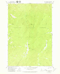
1979 · Cold Meadows
USGS Topo · 1:24,000