
1973 Map of Acorn Butte
USGS Topo · Published 1975About this map
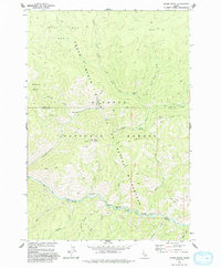
Payette National Forest encompasses this wilderness region, where the boundary between Idaho Co and Valley Co follows the high ridges and watercourses. The landscape is defined by the canyon of Big Creek, which flows past gravel bars with distinctive names like Hard Boil Bar, Over Easy Bar, and Soft Boil Bar. High above the river, the remote Mile Hi and the Jensen Cabin site suggest a history of isolated seasonal habitation and resource management.
Find a feature on this map
39 named features on this map. Tap any name to fly to it.
Don’t see what you’re looking for? This feature index may not catch every label — zoom into the map to look around manually.
Map Details
Editions of this 1973 Acorn Butte Map
2 editions found
Other maps of this area

1956 · Elk City
USGS Topo · 1:250,000

1960 · Elk City
USGS Topo · 1:250,000

1962 · Mormon Mtn
USGS Topo · 1:24,000

1962 · Vinegar Hill
USGS Topo · 1:24,000

1973 · Center Mtn
USGS Topo · 1:24,000

1973 · Bismark Mtn
USGS Topo · 1:24,000
1973 · Monument
USGS Topo · 1:24,000

1978 · Wapiti Creek
USGS Topo · 1:24,000
1978 · Lodgepole Creek
USGS Topo · 1:24,000
1979 · Cold Meadows
USGS Topo · 1:24,000