
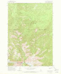
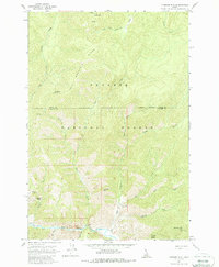
1962 Map of Vinegar Hill
USGS Topo · Published 1963About this map
Payette National Forest dominates this 1962 field-checked survey, revealing a landscape defined by dramatic elevation changes and essential backcountry access points. The southern reaches of the quadrangle are anchored by Big Creek, which serves as a primary drainage for the surrounding basins and ridges. Transport through this roadless section of the Idaho wilderness in the early 1960s relied heavily on isolated aviation and river access, evidenced by the presence of Mile Hi Landing Strip, Cabin Creek Landing Strip, and Vines Landing Strip.
Find a feature on this map
28 named features on this map. Tap any name to fly to it.
Don’t see what you’re looking for? This feature index may not catch every label — zoom into the map to look around manually.
Map Details
Editions of this 1962 Vinegar Hill Map
3 editions found
Other maps of this area

1956 · Elk City
USGS Topo · 1:250,000

1960 · Elk City
USGS Topo · 1:250,000

1962 · Mormon Mtn
USGS Topo · 1:24,000

1962 · Papoose Peak
USGS Topo · 1:24,000

1962 · Dave Lewis Peak
USGS Topo · 1:24,000

1973 · Acorn Butte
USGS Topo · 1:24,000
1973 · Monument
USGS Topo · 1:24,000

1977 · Cottonwood Butte
USGS Topo · 1:24,000

1978 · Wapiti Creek
USGS Topo · 1:24,000
1979 · Cold Meadows
USGS Topo · 1:24,000