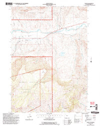
1991 Map of Wapiti
USGS Topo · Published 1996About this map
The North Fork Shoshone River carves a deep path through this portion of the Shoshone National Forest, creating a narrow corridor of human activity amidst a massive landscape of ridges and peaks. In the early 1990s, the small community of Wapiti served as a primary waypoint, flanked by legacy holdings like the Bradford Ranch and the Dahlem Ranch. The presence of the North Fork Valley Ditch indicates the essential role of irrigation in sustaining these valley floor operations.
Find a feature on this map
26 named features on this map. Tap any name to fly to it.
Don’t see what you’re looking for? This feature index may not catch every label — zoom into the map to look around manually.
Map Details
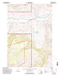
Editions of this 1991 Wapiti Map
2 editions found
Other maps of this area

1893 · Ishawooa
USGS Topo · 1:125,000

1895 · Ishawooa
USGS Topo · 1:125,000

1896 · Crandall Creek
USGS Topo · 1:125,000

1899 · Crandall
USGS Topo · 1:125,000

1899 · Ishawooa
USGS Topo · 1:125,000

1949 · Pat O'Hara Mountain
USGS Topo · 1:62,500

1955 · Cody
USGS Topo · 1:250,000

1956 · Dead Indian Peak
USGS Topo · 1:62,500

1957 · Wapiti
USGS Topo · 1:62,500

1958 · Cody
USGS Topo · 1:250,000