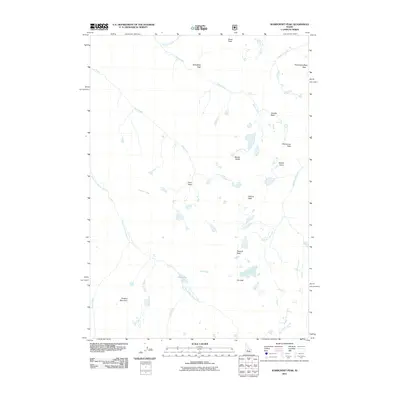
2011 Map of Warbonnet Peak
USGS Topo · Published 2011About this map
Warbonnet Peak and the surrounding high-altitude summits of Boise County are captured here in a 2011 survey that highlights the complex drainage systems of the Central Idaho wilderness. The landscape is defined by its verticality, with prominent landmarks such as Monte Verita and Grandjean Peak rising above a network of alpine waters. The South Fork Payette River winds through the southwestern sector, fed by various named tributaries including Pitchfork Creek and Garden Creek. High-elevation lakes and cascades are central to this terrain, notably Elk Lake and the dramatic Baron Creek Falls. This modern topographic study reveals a rugged area where water and rock dominate, evidenced by the clustered peaks of the Horstmann Peak area and the isolated height of Pinchot Mountain to the south. The absence of roads or permanent settlements underscores the primitive nature of this environment, making it a critical record for hikers and wilderness researchers.
Find a feature on this map
26 named features on this map. Tap any name to fly to it.
Don’t see what you’re looking for? This feature index may not catch every label — zoom into the map to look around manually.
Map Details
Editions of this 2011 Warbonnet Peak Map
This is the sole edition of this map. No revisions or reprints were ever made.
Other maps of this area

1891 · Bear Valley
USGS Topo · 1:125,000

1893 · Bear Valley
USGS Topo · 1:125,000

1894 · Rocky Bar
USGS Topo · 1:125,000

1900 · Sawtooth
USGS Topo · 1:125,000

1919 · Custer
USGS Topo · 1:125,000

1922 · Custer
USGS Topo · 1:125,000

1955 · Hailey
USGS Topo · 1:250,000

1957 · Challis
USGS Topo · 1:250,000

1959 · Hailey
USGS Topo · 1:250,000

1960 · Challis
USGS Topo · 1:250,000