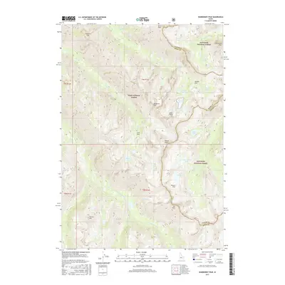
2017 Map of Warbonnet Peak
USGS Topo · Published 2017About this map
Warbonnet Peak and Grandjean Peak anchor this high-elevation wilderness where the jagged divide of the Sawtooth Range separates the Boise and Custer county lines. The landscape is defined by its dramatic verticality, as glacial basins hold chains of alpine waters including Baron Lakes and Upper Redfish Lakes. Waterways like Baron Cr and the S Fork Payette River drain the steep slopes, punctuated by landmarks such as Baron Creek Falls and Fern Falls. This 2017 survey details the complex topography of the Sawtooth National Forest and Boise National Forest, showing the primitive drainage networks of Pinchot Cr and Fall Cr that have shaped the region's inaccessible character. The map identifies numerous high summits, from Monte Verita to Elk Peak, providing a precise look at the drainage patterns and peaks within these protected federal lands.
Find a feature on this map
42 named features on this map. Tap any name to fly to it.
Don’t see what you’re looking for? This feature index may not catch every label — zoom into the map to look around manually.
Map Details
Editions of this 2017 Warbonnet Peak Map
This is the sole edition of this map. No revisions or reprints were ever made.
Other maps of this area

1891 · Bear Valley
USGS Topo · 1:125,000

1893 · Bear Valley
USGS Topo · 1:125,000

1894 · Rocky Bar
USGS Topo · 1:125,000

1900 · Sawtooth
USGS Topo · 1:125,000

1919 · Custer
USGS Topo · 1:125,000

1922 · Custer
USGS Topo · 1:125,000

1955 · Hailey
USGS Topo · 1:250,000

1957 · Challis
USGS Topo · 1:250,000

1959 · Hailey
USGS Topo · 1:250,000

1960 · Challis
USGS Topo · 1:250,000