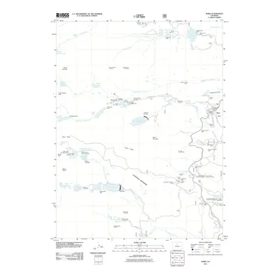
2011 Map of Ward
USGS Topo · Published 2011About this map
Ward stands at the heart of this high-altitude landscape, surrounded by an extensive network of mineral claims and legacy mines. The town is flanked by a significant concentration of operations including the Utica Mine, Modoc Mine, and White Raven Mine, alongside broader interests like the Arapahoe Group of Claims. This concentration of extraction sites near Indiana Gulch and Chipmunk Gulch indicates a landscape heavily shaped by its subsurface wealth.
Find a feature on this map
96 named features on this map. Tap any name to fly to it.
Don’t see what you’re looking for? This feature index may not catch every label — zoom into the map to look around manually.
Map Details
Editions of this 2011 Ward Map
This is the sole edition of this map. No revisions or reprints were ever made.
Other maps of this area

1899 · West Denver
USGS Topo · 1:125,000

1902 · Boulder
USGS Topo · 1:62,500

1904 · Boulder
USGS Topo · 1:62,500

1905 · Central City
USGS Topo · 1:62,500

1906 · Blackhawk
USGS Topo · 1:62,500

1910 · Central City
USGS Topo · 1:62,500

1912 · Central City
USGS Topo · 1:62,500

1915 · Longs Peak
USGS Topo · 1:125,000

1919 · Rocky Mountain National Park
USGS Topo · 1:125,000

1942 · Nederland
USGS Topo · 1:24,000