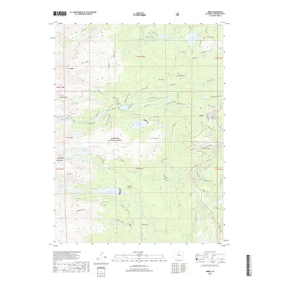
2019 Map of Ward
USGS Topo · Published 2019About this map
Ward anchors the eastern edge of this High Rockies survey, where the town's street grid, including Utica St and Humboldt St, meets the historic transportation corridors of the Front Range. The landscape is dominated by the high-elevation terrain of Roosevelt National Forest, defined by a series of prominent peaks and glacial features. To the west, the continental divide is marked by Mt Audubon, Pawnee Peak, and the Isabell Glacier, feeding a complex drainage system of lakes and creeks.
Find a feature on this map
74 named features on this map. Tap any name to fly to it.
Don’t see what you’re looking for? This feature index may not catch every label — zoom into the map to look around manually.
Map Details
Editions of this 2019 Ward Map
This is the sole edition of this map. No revisions or reprints were ever made.
Other maps of this area

1899 · West Denver
USGS Topo · 1:125,000

1902 · Boulder
USGS Topo · 1:62,500

1904 · Boulder
USGS Topo · 1:62,500

1905 · Central City
USGS Topo · 1:62,500

1906 · Blackhawk
USGS Topo · 1:62,500

1910 · Central City
USGS Topo · 1:62,500

1912 · Central City
USGS Topo · 1:62,500

1915 · Longs Peak
USGS Topo · 1:125,000

1919 · Rocky Mountain National Park
USGS Topo · 1:125,000

1942 · Nederland
USGS Topo · 1:24,000