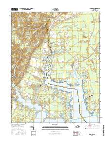
2016 Map of Ware Neck
USGS Topo · Published 2016About this map
Fort Nonsense stands as a focal point in the upper landscape of this coastal Virginia region, where the intricate tidal fingers of the Chesapeake Bay meet the agricultural interior of Gloucester and Mathews counties. The map captures a complex web of land-water interfaces, characterized by numerous points and necks like Ware Neck and Deacons Neck that reach into the surrounding waters. Small settlements such as Hockley, Zanoni, and Schley are connected by a dense network of local roads and family-named wharfs, reflecting the long-standing maritime and rural economy of the Middle Peninsula. Genealogists and local historians can trace legacy sites through numerous family and community burial grounds, including Locust Grove Cem and Pole Bridge Cem. The geography is defined by small waterways like Burke Mill Stream and North End Branch, which historically powered local industry and dictated the early patterns of colonial and post-colonial settlement.
Find a feature on this map
137 named features on this map. Tap any name to fly to it.
Don’t see what you’re looking for? This feature index may not catch every label — zoom into the map to look around manually.
Map Details
Editions of this 2016 Ware Neck Map
This is the sole edition of this map. No revisions or reprints were ever made.
Other maps of this area

1906 · Williamsburg
USGS Topo · 1:62,500

1916 · Kilmarnock
USGS Topo · 1:48,000

1916 · Mathews
USGS Topo · 1:62,500

1917 · Urbanna
USGS Topo · 1:62,500

1917 · Kilmarnock
USGS Topo · 1:62,500

1917 · Mathews
USGS Topo · 1:62,500

1942 · Kilmarnock
USGS Topo · 1:62,500

1943 · Richmond
USGS Topo · 1:250,000

1948 · Ware Neck
USGS Topo · 1:24,000

1948 · Achilles
USGS Topo · 1:24,000