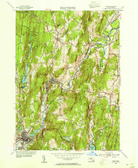
1954 Map of Ware
USGS Topo · Published 1955About this map
Industrial and agricultural life in central Massachusetts centers on the Ware River as it winds through Worcester County in the mid-1950s. The river valley serves as a vital transportation corridor, shared by the Boston and Maine Railroad and the Boston and Albany Railroad, which connect the factory villages of Gilbertville, Wheelwright, and Furnace. These small settlements, established around water power and rail access, contrast with the surrounding upland terrain marked by Dougal Mountain and Mandell Hill. For genealogists, the map preserves the locations of local landmarks like the Hardwick Cem and St Aloysius Cem. The southern edge of the sheet shows the busy center of Ware, where the river loops near Snow Pond, while the rural character of the region is further evidenced by small aviation strips like Barre Airport and Turcott Airport.
Find a feature on this map
42 named features on this map. Tap any name to fly to it.
Don’t see what you’re looking for? This feature index may not catch every label — zoom into the map to look around manually.
Map Details
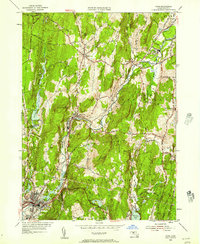
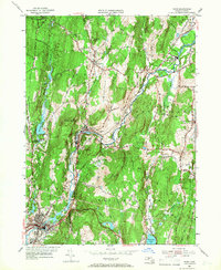
Editions of this 1954 Ware Map
3 editions found
Other maps of this area

1887 · Brookfield
USGS Topo · 1:62,500

1887 · Palmer
USGS Topo · 1:62,500

1887 · Belchertown
USGS Topo · 1:62,500

1887 · Barre
USGS Topo · 1:62,500

1889 · Palmer
USGS Topo · 1:62,500

1889 · Barre
USGS Topo · 1:62,500

1890 · Belchertown
USGS Topo · 1:62,500

1890 · Brookfield
USGS Topo · 1:62,500

1893 · Palmer
USGS Topo · 1:62,500

1893 · Belchertown
USGS Topo · 1:62,500