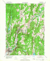
1954 Map of Ware
USGS Topo · Published 1966About this map
Gilbertville and Wheelwright anchor the industrial and social life along the Ware River during the mid-1950s. The valley serves as a critical transportation corridor, where the Boston and Maine and Central Vermont railroads parallel the river, connecting manufacturing outposts like Furnace to larger markets. This transition period shows the persistence of small-town centers amid the hills of central Massachusetts, before the later 20th-century shifts in rail traffic and manufacturing.
Find a feature on this map
50 named features on this map. Tap any name to fly to it.
Don’t see what you’re looking for? This feature index may not catch every label — zoom into the map to look around manually.
Map Details
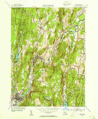
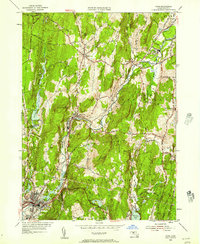
Editions of this 1954 Ware Map
3 editions found
Other maps of this area

1887 · Brookfield
USGS Topo · 1:62,500

1887 · Palmer
USGS Topo · 1:62,500

1887 · Belchertown
USGS Topo · 1:62,500

1887 · Barre
USGS Topo · 1:62,500

1889 · Palmer
USGS Topo · 1:62,500

1889 · Barre
USGS Topo · 1:62,500

1890 · Belchertown
USGS Topo · 1:62,500

1890 · Brookfield
USGS Topo · 1:62,500

1893 · Palmer
USGS Topo · 1:62,500

1893 · Belchertown
USGS Topo · 1:62,500