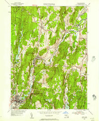
1954 Map of Ware
USGS Topo · Published 1957About this map
The Ware River carves a deep industrial and transit corridor through this mid-century landscape, connecting the manufacturing hamlets of Wheelwright, Furnace, and Gilbertville. This 1954 revision reveals a region defined by its complex rail infrastructure, where the Central Vermont, Boston and Maine, and Boston and Albany lines converge to serve the riverside communities. Beyond the valley floor, the terrain rises sharply toward Dougal Mountain and Ragged Hill, maintaining the rural character of older settlements like Hardwick and New Braintree.
Find a feature on this map
43 named features on this map. Tap any name to fly to it.
Don’t see what you’re looking for? This feature index may not catch every label — zoom into the map to look around manually.
Map Details
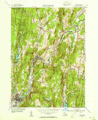
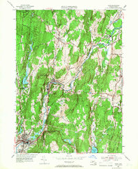
Editions of this 1954 Ware Map
3 editions found
Other maps of this area

1887 · Brookfield
USGS Topo · 1:62,500

1887 · Palmer
USGS Topo · 1:62,500

1887 · Belchertown
USGS Topo · 1:62,500

1887 · Barre
USGS Topo · 1:62,500

1889 · Palmer
USGS Topo · 1:62,500

1889 · Barre
USGS Topo · 1:62,500

1890 · Belchertown
USGS Topo · 1:62,500

1890 · Brookfield
USGS Topo · 1:62,500

1893 · Palmer
USGS Topo · 1:62,500

1893 · Belchertown
USGS Topo · 1:62,500