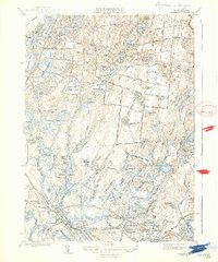
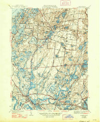
1939 Map of Wareham
USGS Topo · Published 1939About this map
Wankinco Cranberry Bog and several dozen named wetlands characterize the landscape of southeastern Massachusetts in the mid-1930s. The region is defined by an intensive agricultural pattern of bog cultivation, visible in the dense clusters of Federal Bogs and Harlow Cranberry Bogs near South Carver. This intricate network of man-made and natural hydrology feeds the Wankinco River and Tihonet Brook, supporting a specialized economy centered on the cranberry industry before modern suburban expansion.
Find a feature on this map
132 named features on this map. Tap any name to fly to it.
Don’t see what you’re looking for? This feature index may not catch every label — zoom into the map to look around manually.
Map Details
Editions of this 1939 Wareham Map
5 editions found
Other maps of this area

1885 · New Bedford
USGS Topo · 1:62,500

1885 · Middleboro
USGS Topo · 1:62,500

1886 · Falmouth
USGS Topo · 1:62,500

1886 · Plymouth
USGS Topo · 1:62,500

1888 · New Bedford
USGS Topo · 1:62,500

1888 · Falmouth
USGS Topo · 1:62,500

1888 · Middleboro
USGS Topo · 1:62,500

1889 · Plymouth
USGS Topo · 1:62,500

1893 · Middleboro
USGS Topo · 1:62,500

1893 · Falmouth
USGS Topo · 1:62,500