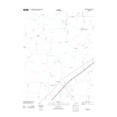
2013 Map of Warfield
USGS Topo · Published 2013About this map
Sturgeonville and the nearby community of Warfield anchor this 2013 survey of Brunswick County, where the landscape is defined by the convergence of the Nottoway River and its numerous tributaries. The map documents a rural transition zone, with the eastern edge of Fort Pickett bordering the northwest corner near Hickory Run. This era shows a well-established road network including the prominent Interstate 85 corridor, yet the persistence of historical place names like Baskerville Mill and Champ suggests deep-rooted local history tied to early Virginia industry.
Find a feature on this map
72 named features on this map. Tap any name to fly to it.
Don’t see what you’re looking for? This feature index may not catch every label — zoom into the map to look around manually.
Map Details
Editions of this 2013 Warfield Map
This is the sole edition of this map. No revisions or reprints were ever made.
Other maps of this area

1897 · Amelia
USGS Topo · 1:125,000

1918 · Lawrenceville
USGS Topo · 1:62,500

1919 · Mc Kenney
USGS Topo · 1:48,000

1920 · Lawrenceville
USGS Topo · 1:48,000

1921 · Mc Kenney
USGS Topo · 1:62,500

1921 · Lawrenceville
USGS Topo · 1:62,500

1942 · Lawrenceville
USGS Topo · 1:62,500

1943 · Mc Kenney
USGS Topo · 1:62,500

1943 · De Witt
USGS Topo · 1:24,000

1943 · Richmond
USGS Topo · 1:250,000