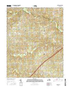
2016 Map of Warfield
USGS Topo · Published 2016About this map
Sturgeonville and the neighboring community of Warfield occupy the southern reaches of this landscape, situated near the headwaters of Sturgeon Creek. The terrain is defined by a dense network of streams and creeks feeding into the Nottoway River, which forms the boundary between Dinwiddie and Brunswick counties. Historically significant crossing points like Gills Bridge, Harpers Bridge, and Jones Bridge demonstrate the long-established transit patterns across the river, connecting isolated settlements like Ordsburg and Hickory Run.
Find a feature on this map
59 named features on this map. Tap any name to fly to it.
Don’t see what you’re looking for? This feature index may not catch every label — zoom into the map to look around manually.
Map Details
Editions of this 2016 Warfield Map
This is the sole edition of this map. No revisions or reprints were ever made.
Other maps of this area

1897 · Amelia
USGS Topo · 1:125,000

1918 · Lawrenceville
USGS Topo · 1:62,500

1919 · Mc Kenney
USGS Topo · 1:48,000

1920 · Lawrenceville
USGS Topo · 1:48,000

1921 · Mc Kenney
USGS Topo · 1:62,500

1921 · Lawrenceville
USGS Topo · 1:62,500

1942 · Lawrenceville
USGS Topo · 1:62,500

1943 · Mc Kenney
USGS Topo · 1:62,500

1943 · De Witt
USGS Topo · 1:24,000

1943 · Richmond
USGS Topo · 1:250,000