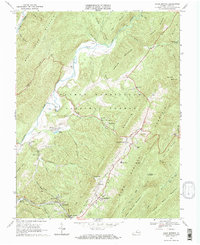
1968 Map of Warm Springs
USGS Topo · Published 1970About this map
The Jackson River and its major tributaries carve through the ridges of the George Washington National Forest in this late 1960s study. The settlement pattern follows the narrow valley floors, concentrated along the thermal springs that define the region's character. Significant community landmarks include Mt Pisgah Ch, John Wesley Ch, and the Valley High Sch near Mitchelltown. To the west, the industrial and residential footprint of Bacova sits near the Chesapeake and Ohio railroad line, which snakes through the gap at Bacova Junction. The map captures a landscape where traditional Appalachian settlements like Shakerag and Thomastown coexist with the developed recreation of the Hot Springs golf course. Notable water features like Lake Bacova and Grose Spring dot the terrain between the formidable slopes of Back Creek Mountain and Warm Springs Mountain.
Find a feature on this map
60 named features on this map. Tap any name to fly to it.
Don’t see what you’re looking for? This feature index may not catch every label — zoom into the map to look around manually.
Map Details
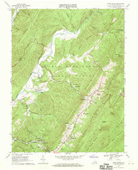
Editions of this 1968 Warm Springs Map
2 editions found
Other maps of this area

1894 · Natural Bridge
USGS Topo · 1:125,000

1901 · Monterey
USGS Topo · 1:125,000

1923 · Warm Springs
USGS Topo · 1:48,000

1926 · Warm Springs
USGS Topo · 1:62,500

1929 · Falling Spring
USGS Topo · 1:24,000

1930 · Warm Springs Run
USGS Topo · 1:24,000

1930 · Mountain Grove
USGS Topo · 1:24,000

1931 · Healing Springs
USGS Topo · 1:24,000

1932 · Falling Spring
USGS Topo · 1:31,680

1933 · Mountain Grove
USGS Topo · 1:31,680