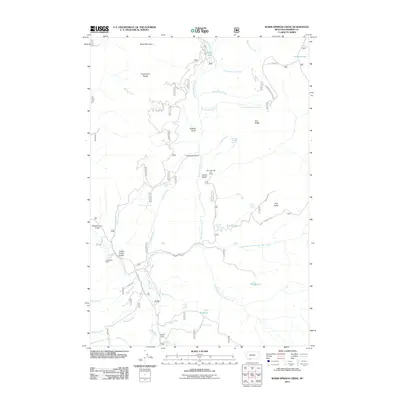
2011 Map of Warm Springs Creek
USGS Topo · Published 2011About this map
The Greenhorn Range dominates this portion of Madison County, providing a high-elevation backdrop for a landscape defined by ranching and mountain water sources. Warm Springs Creek and the Ruby River serve as the primary drainage systems, carving through gulches like Schoolmarm Gulch and French Gulch. Historical land use is evident through scattered infrastructure such as the Fred B Utter Ranch and Hudson Ranch, alongside high-country outposts like the Warm Springs Cow Camp.
Find a feature on this map
50 named features on this map. Tap any name to fly to it.
Don’t see what you’re looking for? This feature index may not catch every label — zoom into the map to look around manually.
Map Details
Editions of this 2011 Warm Springs Creek Map
This is the sole edition of this map. No revisions or reprints were ever made.
Other maps of this area

1888 · Three Forks
USGS Topo · 1:250,000

1893 · Dillon
USGS Topo · 1:250,000

1894 · Three Forks
USGS Topo · 1:250,000

1895 · Three Forks
USGS Topo · 1:250,000

1947 · Bozeman
USGS Topo · 1:250,000

1948 · Bozeman
USGS Topo · 1:250,000

1949 · Varney
USGS Topo · 1:62,500

1950 · Monument Ridge
USGS Topo · 1:62,500

1955 · Bozeman
USGS Topo · 1:250,000

1955 · Dubois
USGS Topo · 1:250,000