
1958 Map of Warm Springs Mountain
USGS Topo · Published 1959About this map
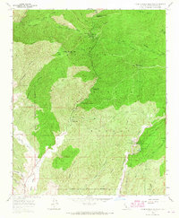
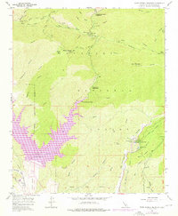
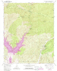
Warm Springs Mtn towers over this stretch of the Angeles National Forest, a landscape defined by steep canyons and the infrastructure of early 20th-century utility engineering. The presence of San Francisquito Powerhouse No 2, complete with its Surge Chamber and Penstocks, highlights the area's critical role in regional water and power management during the late 1950s. This utility corridor is further evidenced by the Los Angeles Aqueduct Tunnel cutting through the terrain near Drinkwater Res. In the lower elevations, human habitation appears as small pockets of activity, from the Elizabeth Lake Guard Station and Daries Ranch to recreational and spiritual retreats like Warm Springs Camp and Canyon Christian Camp. Numerous firebreaks and truck trails mark the hillsides, reflecting the ongoing management of this fire-prone mountain terrain.
Find a feature on this map
49 named features on this map. Tap any name to fly to it.
Don’t see what you’re looking for? This feature index may not catch every label — zoom into the map to look around manually.
Map Details
Editions of this 1958 Warm Springs Mountain Map
4 editions found
Other maps of this area

1900 · Fernando
USGS Topo · 1:62,500

1901 · Southern California Sheet No. 1
USGS Topo · 1:250,000

1903 · Tejon
USGS Topo · 1:125,000

1903 · Camulos
USGS Topo · 1:125,000

1903 · Santa Susana
USGS Topo · 1:62,500

1904 · Southern California Sheet No. 1
USGS Topo · 1:250,000

1915 · Elizabeth Lake
USGS Topo · 1:125,000

1917 · Elizabeth Lake
USGS Topo · 1:125,000

1929 · Saugus
USGS Topo · 1:24,000

1931 · Red Mountain
USGS Topo · 1:24,000