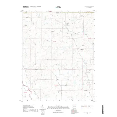
2020 Map of Warm Springs
USGS Topo · Published 2020About this map
Warm Springs serves as the focal point for this rural borderlands survey, situated just south of the Arkansas-Missouri state line. The landscape is characterized by its numerous natural water sources, including Wooldridge Spring, Whittenberg Spring, and the prominent Catto Spring. For genealogists and local historians, this area is exceptionally well-documented through a dense concentration of burial sites, ranging from the central Warm Springs Cem to the family-named Looney Cem, Wells Cem, and Spikes Cem. The southern portion of the map is defined by the course of the Eleven Point River, which receives flow from numerous small tributaries like Tennessee Cr and Thatch Cr. Local industry and social hubs appear at Hamil and Ingram, while the terrain rises to distinctive elevations at Bald Knob and Phillips Knob, overlooking a network of country roads and trails such as Pawnee Trl and Sleepy Hollow Trl.
Find a feature on this map
83 named features on this map. Tap any name to fly to it.
Don’t see what you’re looking for? This feature index may not catch every label — zoom into the map to look around manually.
Map Details
Editions of this 2020 Warm Springs Map
This is the sole edition of this map. No revisions or reprints were ever made.
Other maps of this area

1935 · Reyno
USGS Topo · 1:62,500

1939 · Doniphan
USGS Topo · 1:62,500

1941 · Gatewood
USGS Topo · 1:62,500

1945 · Doniphan
USGS Topo · 1:62,500

1945 · Gatewood
USGS Topo · 1:62,500

1957 · Poplar Bluff
USGS Topo · 1:250,000

1959 · Poplar Bluff
USGS Topo · 1:250,000

1960 · Poplar Bluff
USGS Topo · 1:250,000

1965 · Gatewood
USGS Topo · 1:24,000

1966 · Ravenden Springs
USGS Topo · 1:24,000