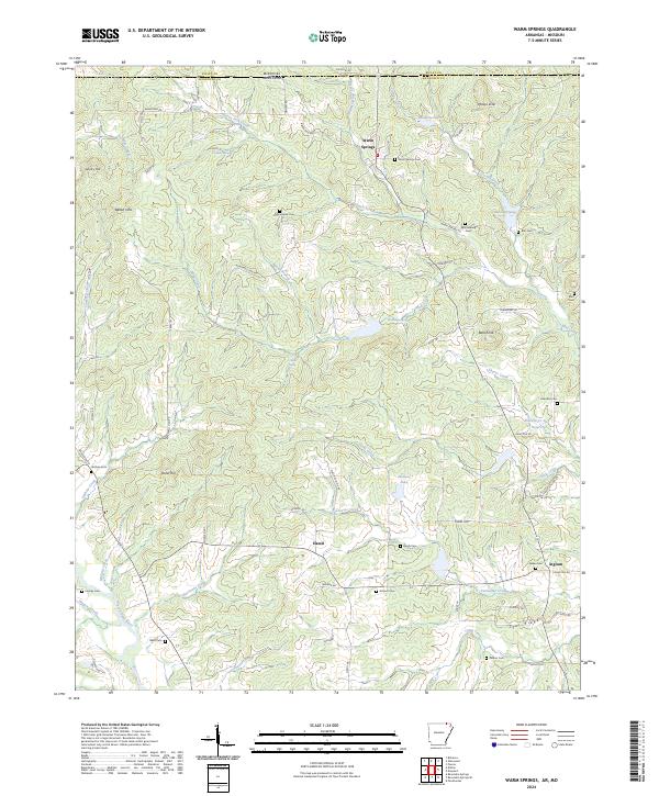
2024 Map of Warm Springs
USGS Topo · Published 2024About this map
Warm Springs anchors this survey of the Arkansas-Missouri borderlands, where the terrain transitions from the high points of Phillips Knob and Bald Knob into a network of spring-fed hollows. The landscape is defined by its water sources, including Cowden Spring, Whittenberg Spring, and the prominent Wallace Lake. A dense distribution of family and community burial grounds, such as Macedonia Cem, Whittenberg Cem, and Looney Cem, reflects a deeply rooted rural settlement pattern. The map reveals the sophisticated drainage of the area, where Green Fork Creek and Warm Springs Creek meet, and technical water management is visible at the Fourche-Cr Site 17 Reservoir. Small hamlets like Hamil and Ingram are connected by a web of local roads such as Baker Den Rd and Palestine Rd, tracing the paths of early travelers through the hills of Randolph County.
Find a feature on this map
81 named features on this map. Tap any name to fly to it.
Don’t see what you’re looking for? This feature index may not catch every label — zoom into the map to look around manually.
Map Details
Editions of this 2024 Warm Springs Map
This is the sole edition of this map. No revisions or reprints were ever made.
Other maps of this area

1935 · Reyno
USGS Topo · 1:62,500

1939 · Doniphan
USGS Topo · 1:62,500

1941 · Gatewood
USGS Topo · 1:62,500

1945 · Doniphan
USGS Topo · 1:62,500

1945 · Gatewood
USGS Topo · 1:62,500

1957 · Poplar Bluff
USGS Topo · 1:250,000

1959 · Poplar Bluff
USGS Topo · 1:250,000

1960 · Poplar Bluff
USGS Topo · 1:250,000

1965 · Gatewood
USGS Topo · 1:24,000

1966 · Ravenden Springs
USGS Topo · 1:24,000